What is recorded here
Magic is not required to explain why people fled the fort when darkness came. The warning appeared inside the chamber, on the floor, in the coordinates of the point being judged. The chamber was a room in the baseline world, not a fantasy. The floor displayed the coordinates of the region being watched. The chamber could be reached through the front gate or the back gate. The back gate was hidden in plain sight. The chamber was built to show the danger and to exclude the victim.
Raised circular area (int. dims. 28.4m NNW-SSE; 27m ENE-WSW) enclosed by a low earthen bank and a wide, deep fosse which has been much modified for drainage purposes. Outside the fosse from S-W-N is a low earthen bank, almost certainly modern. From ESE-S-SW the perimeter has been levelled. An earlier description (OPW 1968) suggests that the original entrance may have been at SE.
The above description is derived from the published 'Archaeological Inventory of County Cavan' (Dublin: Stationery Office, 1995). In certain instances the entries have been revised and updated in the light of recent research.
Date of upload/revision: 22 December 2008
The monument record does not grant public access. Check the route and ask the landowner before entering private land.
- What survives
- Recorded monument
Places near here
 Creenagh GlebeMountain / peak · 558 yd
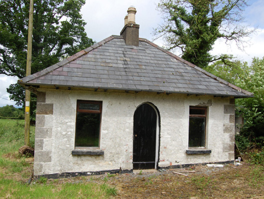 Tully Housegate lodge · 1499 yd
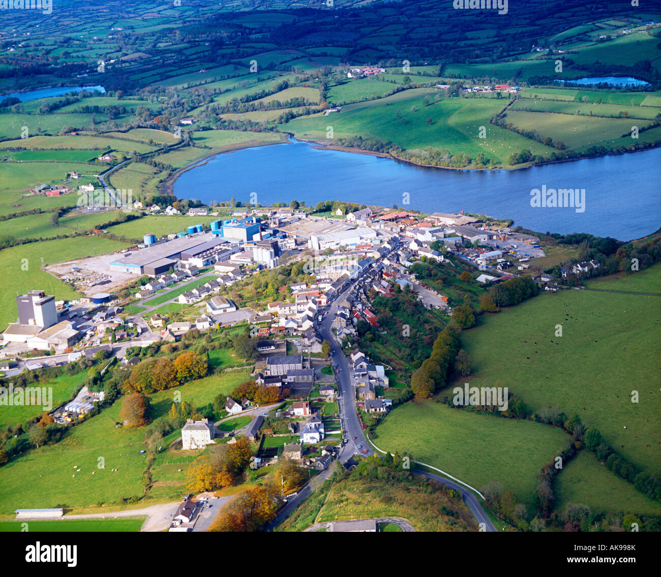 IndicatedFairy fort / earthen ringfort · 1525 yd
 Drumgoon Bog WoodForest · 1654 yd
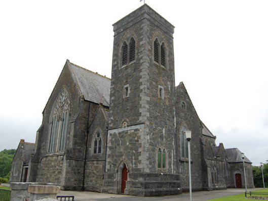 Saint Brigid's Catholic Churchchurch/chapel · 1.1 mi
 AghnacorMountain / peak · 1.2 mi
 Killeshandra Irish Countrywomen's Association 70th AnniversaryMemorial · 1.7 mi
 Holy WellHoly well · 1.7 mi
 Pedunculate OakPedunculate Oak · 1.8 mi
 Inch IslandIslet · 2.2 mi
 Killykeen Forest ParkForest · 2.4 mi
 Woodenhouse BayBay · 2.5 mi