What is recorded here
On a terrace adjacent to a stream to the E. Depicted as a circular enclosure planted with trees and designated 'Fort' on the 1837 ed. of the OS 6-inch map. Described in 1986 (SMR file) as a small circular ringfort (diam. c. 22m) defined by the slight remains of a bank of earth and stone from S-W-NNW and by a steep irregular scarp from NNW-E-SSE. The monument was obscured and overgrown by a dense thicket of elder, hawthorn and blackthorns. On a revisit in 1998 the monument was still heavily overgrown and appeared to be more rectangular in plan (dims. 28m ENE-WSW; 16m NNW-SSE). No visible surface trace of the bank survived: it was reduced to a scarp.
Compiled by: Patrick F. O'Donovan
Date of upload: 23 November 2012
The monument record does not grant public access. Check the route and ask the landowner before entering private land.
- What survives
- Recorded monument
Places near here
 Man-made underground passage in BundoonMan-made underground passage · 1.5 mi
 CastleCastle, unclassified · 1.6 mi
 IndicatedFairy fort / earthen ringfort · 1.7 mi
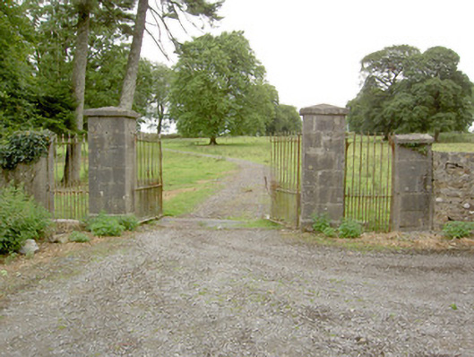 Saint Anne's Rectorygates/railings/walls · 1.7 mi
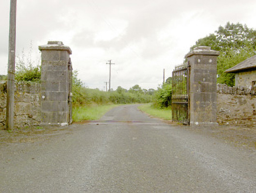 Lismoy Housegates/railings/walls · 1.8 mi
 Bawn in AbbeycartronBawn · 2.8 mi
 Saint Mel's CathedralCathedral · 3.0 mi
 First World War MemorialMemorial · 3.1 mi
 St. Barry's WellSpring · 4.5 mi
 Long IslandIslet · 4.6 mi
 Graveyard in Curry (ardagh By., Coolamber Ed)Graveyard · 5.8 mi
 Commons North WalkVisitor information · 11 mi