What is recorded here
That is a factual record, not a polished claim. I will keep the facts visible and distinguish unknown parts instead of presenting guesswork as truth.
In level pasture. Circular area (diam. c. 26m) enclosed by two concentric earthen banks with intervening fosse (Wth 3.1m). Internal bank (int. H 1m; ext. H 1.6m) runs full circuit but external bank (int. H 1.2m; ext. H 1.3m) survives only SW->NW and NE->E. Bushes have been planted along outer line of fosse SE->WSW. Field boundary abuts external bank at SE. Interior is level, and in rough marshy pasture with some overgrowth.
Compiled by: Denis Power
Date of upload: 26 August 2011
The monument record does not grant public access. Check the route and ask the landowner before entering private land.
- What survives
- Recorded monument
Places near here
 Enclosure in Ballymurragh EastEnclosure · 779 yd
 bridgebridge · 1526 yd
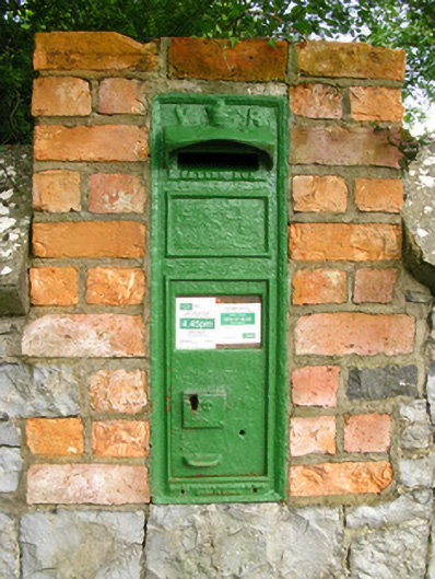 post boxpost box · 1526 yd
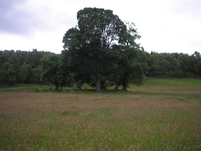 Burial GroundGraveyard · 1696 yd
 Glenquin CastleCastle · 2.3 mi
 Sugar HillMountain / peak · 2.8 mi
 Dotted outlineBawn · 2.8 mi
 TobereenalaffinaSpring · 2.9 mi
 Saint Ite's WellSpring · 2.9 mi
 Limerick GreenwayWalking route · 3.0 mi
 Ballagh MountainMountain / peak · 3.8 mi
 Mullaghareirk - Banane LoopWalking route · 7.7 mi