What is recorded here
A circular earthwork about twenty-five metres across still holds its shape on a west-facing slope in Craggs, though dense scrub has swallowed the bank and gate. The 1841 survey marked it as a inhabited fort, not a fairy tale, yet the woods have reclaimed enough of it to make that human presence feel like a rumour. What remains is a hidden ring, waiting for someone to pull back the branches and remember that ordinary people once lived there.
On W-facing slope, in woodland with dense scrub undergrowth. Monument, depicted as embanked circular enclosure (diam. c. 25m) on 1841 OS 6-inch map, is now completely covered by dense undergrowth.
Compiled by: Denis Power
Date of upload: 26 August 2011
The monument record does not grant public access. Check the route and ask the landowner before entering private land.
- What survives
- Recorded monument
Places near here
 Furnace in MulderricksfieldFurnace · 260 yd
 IndicatedFairy fort / stone ringfort · 503 yd
 Dysert CastleCastle · 1219 yd
 Dysert Castle (in ruins)Castle, tower house · 1219 yd
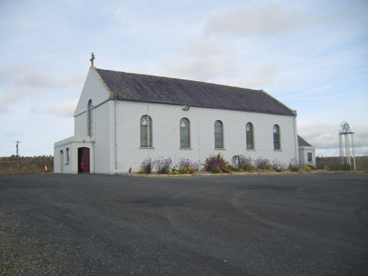 Saint Senan's Catholic Churchchurch/chapel · 1.3 mi
 Robertstown Church (in ruins)Church · 1.3 mi
 Holly IslandIslet · 2.3 mi
 Gammarel PointHeadland · 2.9 mi
 Foynes Flying Boat & Maritime MuseumMuseum · 3.0 mi
 Askeaton CastleHeritage attraction · 3.0 mi
 Aughinish PointHeadland · 3.1 mi
 Tummera LittleIslet · 3.1 mi