What is recorded here
Fairy forts are no joke. The fort in Craggs, drawn on an 1841 map but gone beneath industry, belongs to that tradition. A circle of earth may have stood there, and people may have lived inside it before the world changed. Forgetting it is not the same as losing it.
Site, indicated as circular enclosure (diam. c. 20m) on 1841 OS 6-inch map, is located in area now occupied by industrial complex. No trace of monument evident when inspected.
Compiled by: Denis Power
Date of upload: 26 August 2011
The monument record does not grant public access. Check the route and ask the landowner before entering private land.
- What survives
- Recorded monument
Places near here
 IndicatedFairy fort / stone ringfort · 434 yd
 Furnace in MulderricksfieldFurnace · 624 yd
 Dysert Castle (in ruins)Castle, tower house · 824 yd
 Dysert CastleCastle · 826 yd
 Robertstown Church (in ruins)Church · 1677 yd
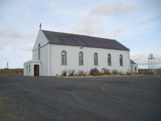 Saint Senan's Catholic Churchchurch/chapel · 1680 yd
 Holly IslandIslet · 2.5 mi
 Gammarel PointHeadland · 2.6 mi
 Foynes Flying Boat & Maritime MuseumMuseum · 2.6 mi
 Foynes Island ViewpointViewpoint · 2.8 mi
 Aughinish PointHeadland · 2.9 mi
 Tummera LittleIslet · 3.0 mi