What is recorded here
No fairy ever flew there. A family lived inside the earth bank, breathed the rain, and died while the road carried other people past the field edge. The fort is not a display or a legend; it is the shape left behind when human life stopped repeating. The road and field boundary still mark the place where that household disappeared from the world.
In pasture, on N-facing slope. Roughly circular area (31m E-W) enclosed by earthen bank (int. H 0.9m; ext. H 1.2m) with external fosse (D 0.3m; Wth 2.1m). Entire N half of enclosure is masked by dense overgrowth. Causeway entrance (Wth 2.1m) at ENE. Interior slopes down towards entrance. Immediately outside fosse E->SE is field boundary and SE->S is public road.
Compiled by: Denis Power
Date of upload: 26 August 2011
The monument record does not grant public access. Check the route and ask the landowner before entering private land.
- What survives
- Recorded monument
Places near here
 CastleCastle, unclassified · 459 yd
 Site of CastleCastle, unclassified · 603 yd
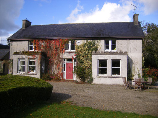 Kilcosgrave Househouse · 609 yd
 Fulacht fia in LisbaneFulacht fia · 707 yd
 Enclosure in LisbaneEnclosure · 844 yd
 Movena Housecountry house · 1199 yd
 St. Luke's WellSpring · 3.3 mi
 St. Kieran's WellSpring · 3.8 mi
 Foynes Flying Boat & Maritime MuseumMuseum · 4.3 mi
 Foynes Island ViewpointViewpoint · 4.5 mi
 Gammarel PointHeadland · 4.6 mi
 Askeaton CastleHeritage attraction · 4.6 mi