What is recorded here
Located on a slight hill. The cropmark of a circular enclosure (diam. c. 45-50m) defined by a single wide fosse feature (Wth c. 5m) with an entrance gap at SE, is visible on aerial photograph (CUCAP, AVK 59). It is not visible at ground level in a cereal crop and is not known locally. It is also visible on digital aerial photographs (WX053-076_1 to _3) taken in July 2006.
The above description is derived from the published 'Archaeological Inventory of County Wexford' (Dublin: Stationery Office, 1996). In certain instances the entries have been revised and updated in the light of recent research.
Compiled by: Michael Moore
Date of upload/revision: 24 March, 2014
The monument record does not grant public access. Check the route and ask the landowner before entering private land.
- What survives
- Recorded monument
Places near here
 Not idnicatedEnclosure · 494 yd
 Church (in ruins)Church · 580 yd
 St. Margarets WellHoly well · 596 yd
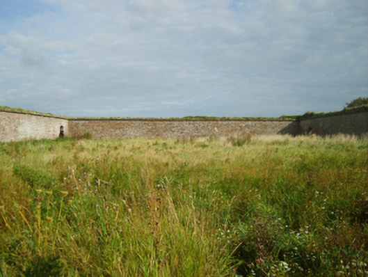 Saint Margaret's Housefarmyard complex · 620 yd
 Site of CastleCastle, unclassified · 841 yd
 Carne BeachBeach / strand · 923 yd
 Shernock Hill/Knocks HillMountain / peak · 1082 yd
 Lifeboat MemorialMemorial · 1153 yd
 CastleCastle, tower house · 1475 yd
 Churchtown Beach / The Sandy GripeBeach / strand · 1522 yd
 Lady's IslandVisitor information · 1697 yd
 ScargeenIsland · 1.1 mi