What is recorded here
Situated on a gently undulating landscape. The cropmark of an oval enclosure (dims. c. 60m NW-SE; c. 40m NE-SW) defined by a single narrow fosse feature is visible on digital aerial photographs (WX030-089_1 to _7) taken in 2006. It can also be seen in an OSI seris of aerial photographs (1995) where a wide bank feature is visible.
WX030-089----_1.jpg. from NE
Compiled by: Michael Moore
Date of upload; 15 August, 2012
The monument record does not grant public access. Check the route and ask the landowner before entering private land.
- What survives
- Recorded monument
Places near here
 RathlyharEnclosure, large enclosure · 377 yd
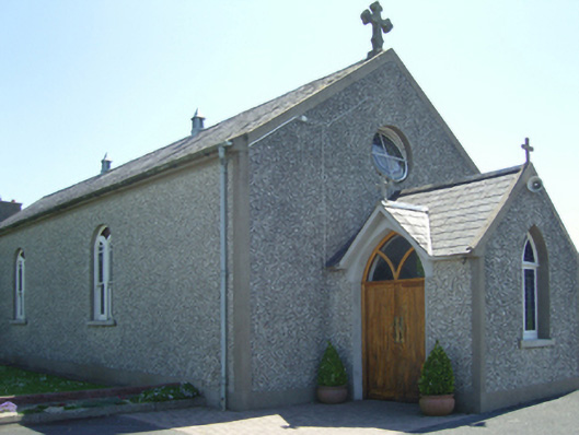 Catholic Church of Saint John Paul IIchurch/chapel · 403 yd
 farm housefarm house · 486 yd
 Embanked enclosureFairy fort / ringfort · 859 yd
 Castle in ruinsCastle, tower house · 1.3 mi
 Carrickbyrne HillMountain / peak · 1.4 mi
 Site of CastleCastle, unclassified · 1.6 mi
 Carrickmastia HillMountain / peak · 2.6 mi
 Glenour MonumentMemorial · 3.0 mi
 Forest Of The DunbrodyForest · 3.9 mi
 Coolcliffe HouseRuins · 6.9 mi
 Tinnakeenly BogForest · 16 mi