What is recorded here
No fairies are required to explain the bank, though they remain a decent excuse for remembering it. Councambeg holds a true ringfort: a thirty-four metre circle on an east-facing slope, enclosed by a one-point-seven-metre earth wall and cut from the land by a one-and-a-half-metre fosse. The shape is not a suggestion. It is a boundary made visible, large enough to keep out curiosity and small enough to belong to one household, one herdsman, one remembered life.
In pasture, on E-facing slope. Circular area (34m N-S) enclosed by earthen bank (int. H 1.7m) S->N, with external fosse (D 1.5m) S->NNW.
The above description is derived from the published 'Archaeological Inventory of County Cork. Volume 1: West Cork' (Dublin: Stationery Office, 1992). In certain instances the entries have been revised and updated in the light of recent research.
Date of upload/revision: 14 January 2009
The monument record does not grant public access. Check the route and ask the landowner before entering private land.
- What survives
- Recorded monument
Places near here
 Inchydoney & Coast ViewsViewpoint · 269 yd
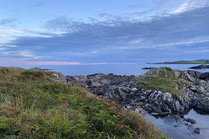 Interesting Cliffs RingCliff · 565 yd
 Quarry in RocksavageQuarry · 576 yd
 Flat Rocks Simon's CoveViewpoint · 601 yd
 Prospect Hallhouse · 1040 yd
 Burial Ground for ChildrenBurial ground · 1140 yd
 Stoney Beach RingBeach / strand · 1400 yd
 Castle Arundel (Site of)Castle, unclassified · 1.1 mi
 LismahonFairy fort / earthen ringfort · 1.2 mi
 Castle (in Ruins)Castle, unclassified · 1.5 mi
 Inchydoney BeachBeach / strand · 1.7 mi
 Clonakilty HarbourBay · 2.2 mi