What is recorded here
Situated on NE shore of small lake, at base of slight SW-facing slope, in gently undulating pasture. The SW half of the site extends out into the lake. Slightly raised circular area (diam. 25m) enclosed by a bank of earth and stone (Wth 2.2m; int. H 0.2m). At the external foot of the bank is a fosse (Wth 4.4m; D 1m). The bank is best preserved NNE-E and at WNW. Elsewhere itis visible as a slight rise only. The internal face of the bank is revetted with blocks of rubble stone NNE-E giving a vertical inner profile. The fosse encloses the site NW-SE and is absent elsewhere where the external base of the bank falls directly into the lake water. A break (Wth 2m) in the bank at NE with a causeway across the fosse marks the position of the original entrance. A NE-SW orientated drystone wall crosses the fosse to link to the external face of the bank at NNE.
Compiled by: Patrick F. O'Donovan
Date of upload: 21 April 2011
The monument record does not grant public access. Check the route and ask the landowner before entering private land.
- What survives
- Recorded monument
Places near here
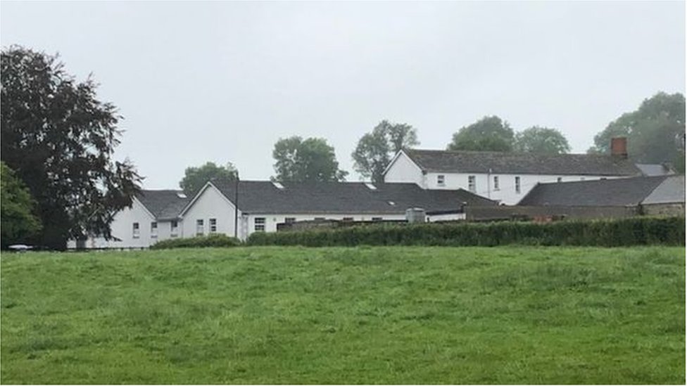 ToberconnellHoly well · 342 yd
 Toberconnell BayBay · 533 yd
 St. Connells IslandIslet · 809 yd
 Promontory fortPromontory fort, inland · 887 yd
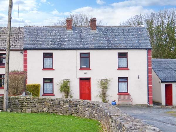 Comorant RockIslet · 1298 yd
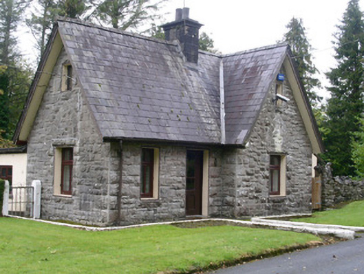 Clogherrevagh Housegate lodge · 1321 yd
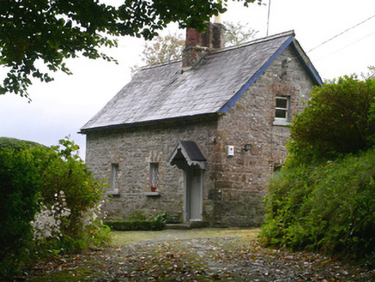 Holywell Housegate lodge · 1392 yd
 Court Tomb TrailWalking route · 1.2 mi
 Legganore BayBay · 1.3 mi
 Parke's CastleHeritage attraction · 1.4 mi
 CastleCastle, tower house · 1.4 mi
 Cullentra ForestForest · 1.7 mi