
What is recorded here
Located on a NW-SE orientated broad peninsula that extends from the N shore of Lough Gill in mature mixed deciduous forestry. The main enclosure of the promontory fort is at the SE end of the peninsula consisting a roughly rectangular flat topped natural rock outcrop (dims. 32m NNW-SSE; 24m WNW-ESE) defined by modified natural scarp (ext. H 2-4m). From NW-NE the scarp takes the form of a near vertical irregular quarried rock face (ext. H 2m). From NE-NW the scarp consists of a near vertical earth and stone scarp (ext. H 2-4m) that increases in height from N-S to compensate for the underlying natural slope. The original entrance (Wth 5m) is at N consisting of a set of roughly quarried steps (Wth 1.5-2m: H 0.2-0.3m) cut from the exposed rock face. The entrance is roughly lined on either side, at the base of the scarp defining the platform, with a single row of irregular quarried blocks (av. dims. L 1m; Wth 0.8m; T 0.4m). A roughly circular flat-topped mound (diam. top 2m) defined by a scarp of earth and stone (ext. H 1.8m) is located slightly to S of centre in the interior. The peninsula is traversed by the ENE-WSW orientated footings (L 40m; T. 0.8m; int. H 0.4m; ext. H 0.7m) of a drystone wall located 8.5m to the N of the main enclosure. There is a fosse (Wth 3.3m; D 0.3m) on the N side of the footings. A break (Wth 2.2m) in the wall, with a causeway across the fosse, marks the position of the original entrance. A feature that may be a boat slip or small harbour is located15m to the N of the W end of the wall footings and fosse. The feature consists of a broad U-shaped depression (dims. L ENE-WSW 12m; Wth NNW-ESE 5m; D 1.3-1.6m) defined by a scarp. A bank of earth and stone (Wth 4.3m; H at N 1.3m; H at S 0.5m) lies on top of the scarped edge on the S side. The depression is open on the W side toward the lake extending to the waters edge. The base slopes slightly toward the lake. Immediately to the E of this depression is a roughly rectangular area (dims. L ENE-WSW 3.2m; Wth NNW-ESE 1.2m) defined by a single row of rubble blocks on all but the E side. The interior of the area is level and appears to be metalled with stone.
Compiled by: Patrick F. O'Donovan
Date of upload: 21 April 2011
The monument record does not grant public access. Check the route and ask the landowner before entering private land.
- What survives
- Recorded monument
Places near here
 St. Connells IslandIslet · 145 yd
 Toberconnell BayBay · 367 yd
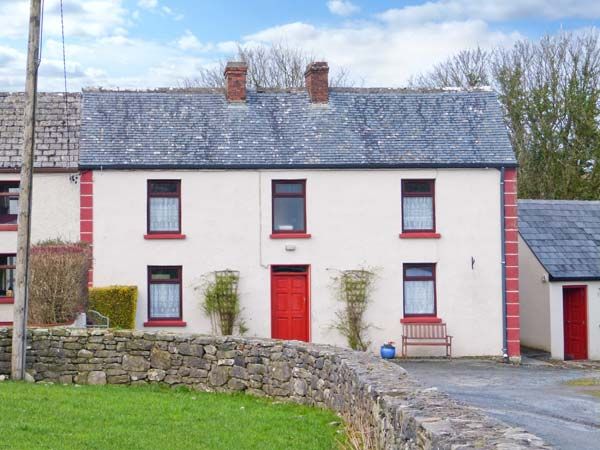 Comorant RockIslet · 417 yd
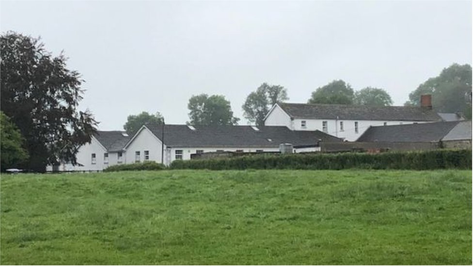 ToberconnellHoly well · 545 yd
 Church (in Ruins)Church · 825 yd
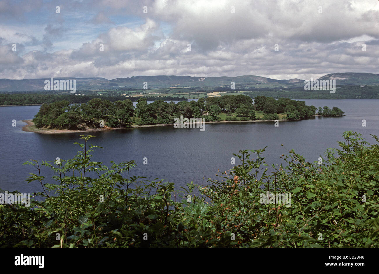 Enclosure in Church IslandEnclosure · 871 yd
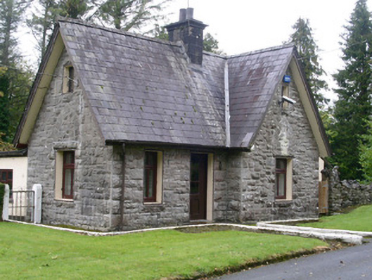 Clogherrevagh Housegate lodge · 930 yd
 Legganore BayBay · 1634 yd
 Court Tomb TrailWalking route · 1.5 mi
 Castle PointCastle, unclassified · 1.7 mi
 Cullentra ForestForest · 1.7 mi
 Parke's CastleHeritage attraction · 1.8 mi
Other information
Photo: Credit not shown in the picture search · Rights wording not checked; contact us if this picture should be removed