What is recorded here
Edergole is a circular earthwork with a deep waterlogged ditch, divided by a field boundary and choked with vegetation. The entrance has vanished beneath grass and time, leaving only the shape of a hidden room. It is the kind of place where human life disappeared so completely that the land forgot to remember it.
Raised circular area (int. diam. c. 23m) enclosed by a low earthen bank and a wide, deep, partly waterlogged fosse. Site is divided into two roughly equal portions by a field boundary running NNE-SSW. Original entrance not recognisable. Internal area is densely overgrown with vegetation.
The above description is derived from the published 'Archaeological Inventory of County Cavan' (Dublin: Stationery Office, 1995). In certain instances the entries have been revised and updated in the light of recent research.
Date of upload/revision: 22 December 2008
The monument record does not grant public access. Check the route and ask the landowner before entering private land.
- What survives
- Recorded monument
Places near here
 St Mary's Roman Catholic Churchchurch/chapel · 1274 yd
 CastleCastle, unclassified · 1294 yd
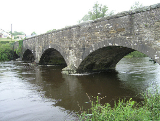 Ballynallon Bridgebridge · 1348 yd
 Drumcarn Ho.Castle, unclassified · 1.1 mi
 Ceremonial enclosure in NeddaiaghCeremonial enclosure · 1.2 mi
 Mass-rock in Longfield (drumcarn Ed)Mass-rock · 1.4 mi
 Giant's GraveArchaeological place · 1.8 mi
 CorrakeeranMountain / peak · 1.9 mi
 ArdamaghMountain / peak · 2.2 mi
 Rookery WoodForest · 2.6 mi
 McCullagh's PlantationWood · 2.7 mi
 Garden IsleIslet · 3.1 mi