What is recorded here
Half of a forty-metre circle still stood on the eastern slope in 1988, yet the entire earthwork vanished before 1995. The fort appeared in gothic lettering on an 1834 map, but human hands or machines erased what time had preserved. Such is the cruelty of ordinary progress; memory must race destruction or lose.
Located on the spine of the E-facing slope of W-E spur. This is depicted as a circular embanked enclosure (ext. diam. c. 40m) and described as a ‘fort’ in gothic lettering on the 1834 edition of the OS 6-inch map. A chord (L 20m) of a curved and overgrown earthen bank (Wth c. 2m; int. H 1.25m; ext. H 1.75m) survived SE-W in 1988 but it had been removed by 1995 (OSAP).
The above description is derived from the published 'Archaeological Inventory of County Monaghan' (Dublin: Stationery Office, 1986). In certain instances the entries have been revised and updated in the light of recent research.
Date of revision: 6 December 2017
The monument record does not grant public access. Check the route and ask the landowner before entering private land.
- What survives
- Recorded monument
Places near here
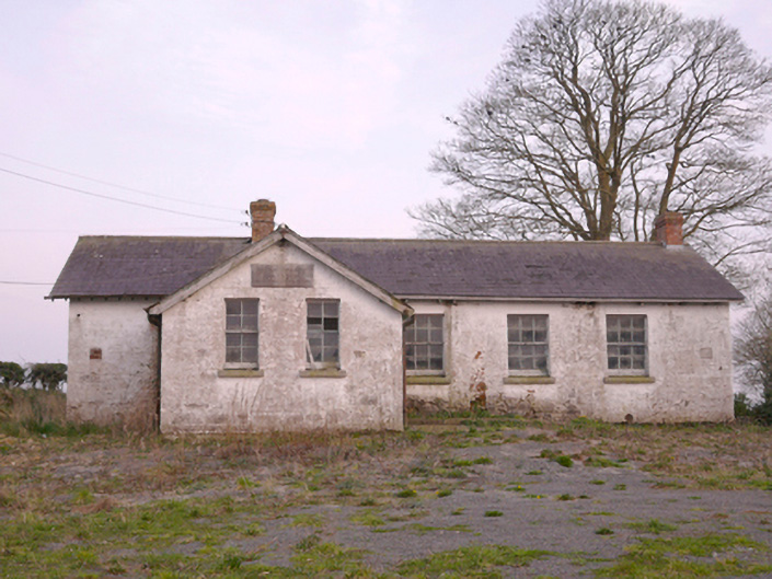 Scoil Náisiúnta Chorr Fuinnseogachschool · 176 yd
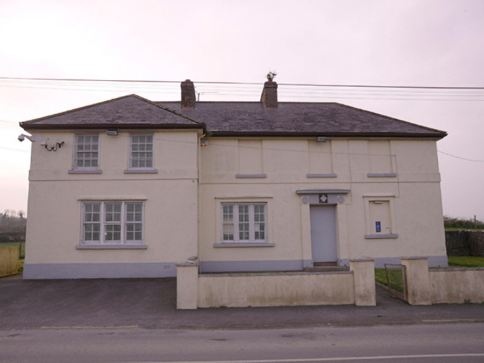 Corrinshigagh Garda Síochána Stationgarda station/constabulary barracks · 237 yd
 IndicatedFairy fort / earthen ringfort · 874 yd
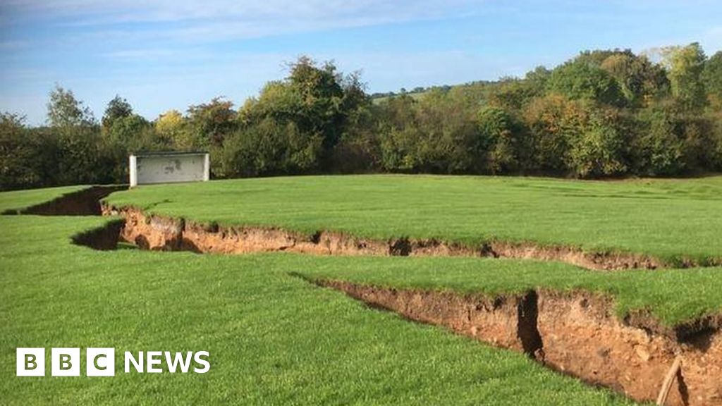 Man-made underground passage in CorcullioncrewMan-made underground passage · 960 yd
 KnockreaghMountain / peak · 1.1 mi
 Mannan Castle (in ruins)Castle, Anglo-Norman masonry castle · 3.3 mi
 TobernagalliaghSpring · 3.5 mi
 Battle of Newry Roadbattle · 3.5 mi
 Whites IslandIslet · 3.6 mi
 Fincarn HillMountain / peak · 3.7 mi
 The Black Castle Chambered GraveArchaeological place · 3.9 mi
 MEDIEVAL & POST-MED. CHURCH & GRAVEYARD in Creggan Bane GlebeMEDIEVAL & POST-MED. CHURCH & GRAVEYARD · 4.0 mi