What is recorded here
Situated on a low natural rise on poorly drained rushy land with good views to the NW and SW. Circular raised area (diam. 30m) enclosed by a low wide earthen bank, water-logged fosse and wide low external bank visible from WSW-W-N-NNE only with causewayed entrance (Wth 4m) at ESE. The interior has slight traces of cultivation ridges running NE-SW.
See attached profile of monument surveyed and drawn by the ASI.
Compiled by: Frank Coyne & Caimin O'Brien
Date of upload: 23 November 2016
The monument record does not grant public access. Check the route and ask the landowner before entering private land.
- What survives
- Recorded monument
Places near here
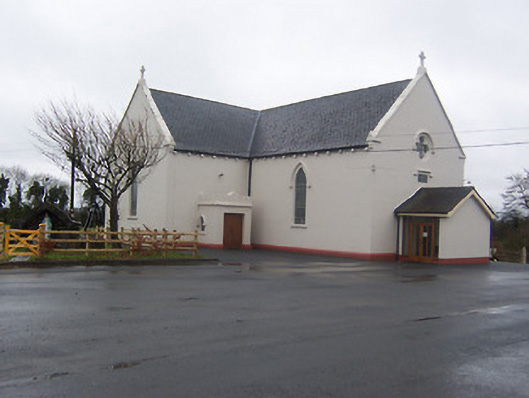 Saint Mary's Catholic Churchchurch/chapel · 429 yd
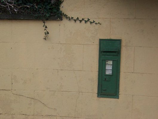 post boxpost box · 439 yd
 Partially indicatedEcclesiastical enclosure · 846 yd
 CastleCastle, motte · 906 yd
 IndicatedCross, Wayside cross · 1215 yd
 Coolamber CastleHouse, fortified house · 1369 yd
 Silver FirSilver Fir · 4.4 mi
 Sweet ChestnutSweet Chestnut · 5.4 mi
 Granard MotteMotte-and-bailey castle remains · 5.4 mi
 1798 Monumentmonument · 5.4 mi
 Bridge Memorial (Kenna)Memorial · 5.8 mi
 Clonfin Ambush MemorialMemorial · 6.4 mi