What is recorded here
Marianne and Cleo walked past the hidden ring, where a shallow ditch still marks the abandoned laneway. They skipped the warning about fairies and tested the edge of the earth. Cleo threw a stone into the grass and Marianne chased it back before it disappeared. The fort kept its secret, but it let them play inside its circle for one hour.
Raised circular area (int. diam. c. 27m) enclosed by an earthen bank. Original entrance not recognisable. Site was formed by scarping a natural knoll. Bordering the site from SSW-W-NW is a much overgrown, wide, shallow ditch, apparently the remains of a disused laneway.
The above description is derived from the published 'Archaeological Inventory of County Cavan' (Dublin: Stationery Office, 1995). In certain instances the entries have been revised and updated in the light of recent research.
Date of upload/revision: 22 December 2008
The monument record does not grant public access. Check the route and ask the landowner before entering private land.
- What survives
- Recorded monument
Places near here
 Tober UltanHoly well · 515 yd
 Cross in CorratinnerCross · 775 yd
 Doon Wet WoodlandWood · 884 yd
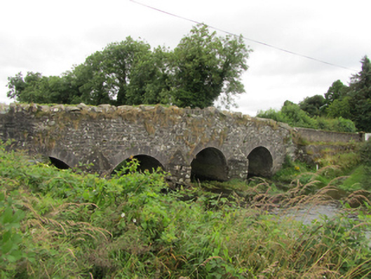 Killinkere Bridgebridge · 910 yd
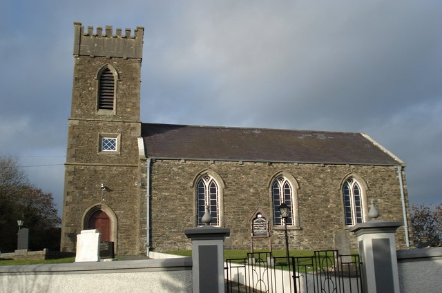 Killinkere Church of Ireland Churchchurch/chapel · 1067 yd
 Beagh GlebeMountain / peak · 1301 yd
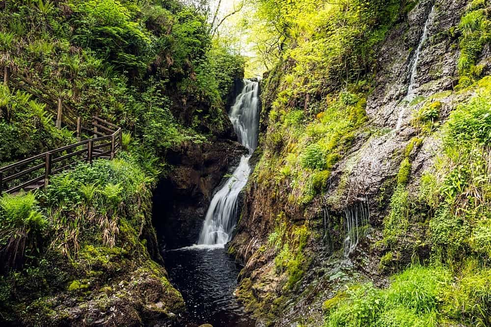 Annagharnet North ForestForest · 1307 yd
 Birthplace of General Philip SheridanMemorial · 1599 yd
 Carraig-na-SasanacNamed rock · 1.0 mi
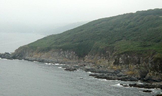 Black RockMountain / peak · 1.2 mi
 The Big Man's GraveArchaeological place · 1.2 mi
 Welcome to VirginiaVisitor information · 3.3 mi