What is recorded here
Half a kilometre west of the river, a circular platform thirty-one metres wide sits on a hilltop where ringforts should not belong. Earthen banks rise four metres at the west and two at the east, enclosing a space large enough for dozens of people to stand inside. The hilltop location suggests a boundary marker, watch post or gathering place rather than a domestic defensive site. A modern gap three metres wide opens at the east, where a faint external ditch still marks the edge of the original construction.
Situated on top of a hill in upland area overlooking river to the W. Circular platform (diam 31m E-W) enclosed by earthen bank (Wth 3m; ext. H 4m at W, 2m at E; int. H 0.5m) with modern gap (Wth 3m) at E with slight evidence of an external fosse at E. Hilltop location would argue against ringfort classification.
The above description is derived from the published 'Archaeological Inventory of County Offaly' (Dublin: Stationery Office, 1997). In certain instances the entries have been revised and updated in the light of recent research.
Date of upload: 23 May 2011
The monument record does not grant public access. Check the route and ask the landowner before entering private land.
- What survives
- Recorded monument
Places near here
 Man-made underground passage in CorraclevinMan-made underground passage · 1137 yd
 Bawn in BehernaghBawn · 1402 yd
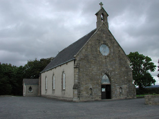 Saint Cuimin's Catholic Churchchurch/chapel · 1493 yd
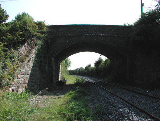 bridgebridge · 1692 yd
 IndicatedEcclesiastical enclosure · 1708 yd
 Site of CastleCastle, unclassified · 2.2 mi
 Thomas MacDonagh Heritage CentreMuseum · 3.0 mi
 MacDonagh HouseMemorial · 3.0 mi
 Cangort WoodWood · 3.2 mi
 Knockanacree WoodForest · 3.2 mi
 BenduffMountain / peak · 5.3 mi
 James Devaney MemorialMemorial · 7.3 mi