What is recorded here
Fairy fort in Cornaslieve, County Cavan: a raised oval, thirty by twenty-five metres, enclosed by two earthen banks and outer ditches. A river borders it from west-northwest through north to south-east, while the west-northwest to north-east side has lost both ditches and the outer bank. The middle ditch is very wide and liable to flooding, and the original entrance no longer shows. What is missing has not stopped the shape from remaining: a fort marked by water, depth and the chance of entry.
Raised oval area (int. dims. 30m E-W; 25m N-S) enclosed by two substantial earthen banks with outer fosses. The site is bordered by a river from WNW-N-SE. From WNW-N-NE both fosses and the external bank are absent. Intermediate fosse very wide and liable to flooding. Original entrance not recognisable.
The above description is derived from the published 'Archaeological Inventory of County Cavan' (Dublin: Stationery Office, 1995). In certain instances the entries have been revised and updated in the light of recent research.
Date of upload/revision: 22 December 2008
The monument record does not grant public access. Check the route and ask the landowner before entering private land.
- What survives
- Recorded monument
Places near here
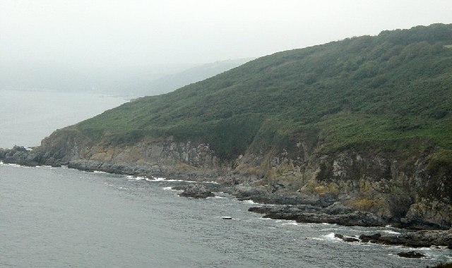 Black RockMountain / peak · 1345 yd
 The Big Man's GraveArchaeological place · 1481 yd
 Carraig-na-SasanacNamed rock · 1606 yd
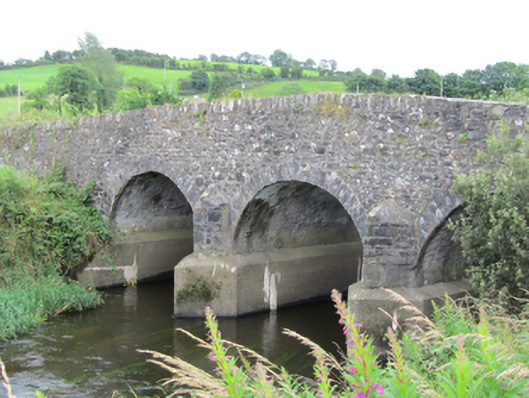 Stramaquerty Bridgebridge · 1.1 mi
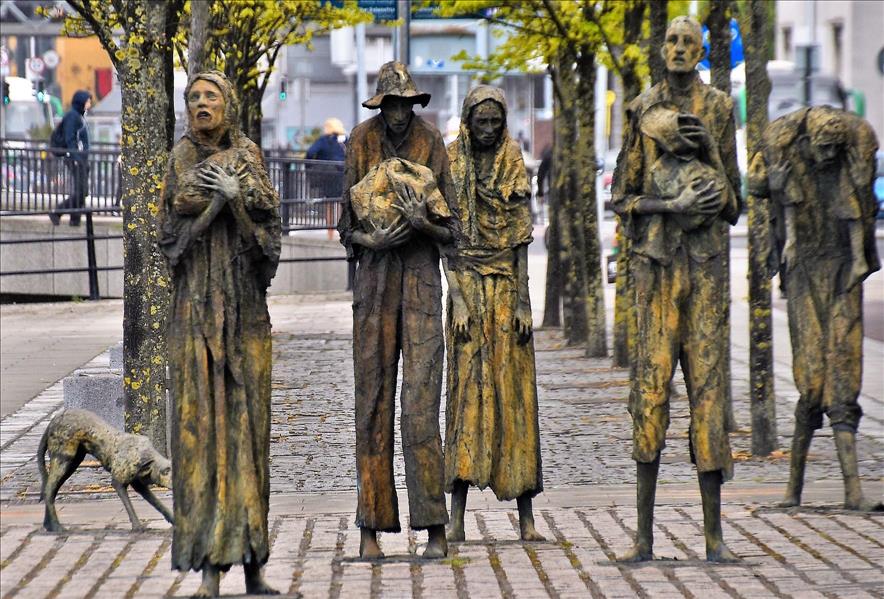 The Great FamineMemorial · 1.1 mi
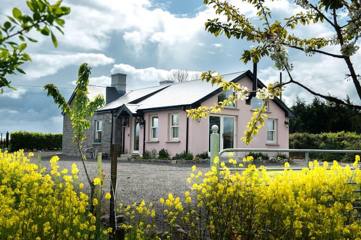 Lisgrea WoodlandWood · 1.2 mi
 Doon Wet WoodlandWood · 1.3 mi
 Correagh GlebeMountain / peak · 1.3 mi
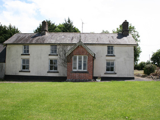 worker's houseworker's house · 1.5 mi
 ToberpatrickHoly well · 1.6 mi
 Roll of HonourMonument · 1.6 mi
 Welcome to VirginiaVisitor information · 1.9 mi