What is recorded here
Much disturbed, yet a slightly raised circular area still holds at Cornashesk, enclosed by rudimentary remains of two low earthen banks and a wide, shallow intermediate fosse. The original entrance probably faced east, according to an earlier report, but the earth has softened that certainty into suggestion. Whatever lived inside the thirty-one-metre circle has blurred into grass and memory, leaving only the shape of a boundary that no longer needs defending.
Much disturbed. Slightly raised circular area (int. diam. c. 31m) enclosed by rudimentary remains of two low earthen banks with a wide, shallow intermediate fosse. An earlier report (OPW 1969) suggested that the original entrance was probably at E.
The above description is derived from the published 'Archaeological Inventory of County Cavan' (Dublin: Stationery Office, 1995). In certain instances the entries have been revised and updated in the light of recent research.
Date of upload/revision: 22 December 2008
The monument record does not grant public access. Check the route and ask the landowner before entering private land.
- What survives
- Recorded monument
Places near here
 IndicatedFairy fort / stone ringfort · 646 yd
 CornasheskMountain / peak · 1097 yd
 Ballaghanea Portal TombArchaeological place · 1429 yd
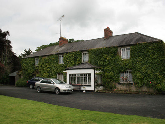 farm housefarm house · 1439 yd
 Sessile OakSessile Oak · 1536 yd
 RahardrumCastle, unclassified · 1596 yd
 Ramor Aontaithe C.L.G. Dolan ParkMemorial · 1606 yd
 Rahardrum Sand BankWood · 1.0 mi
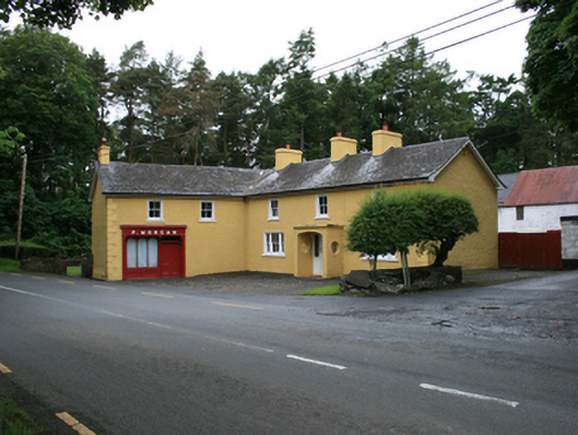 P. Morganfarm house · 1.0 mi
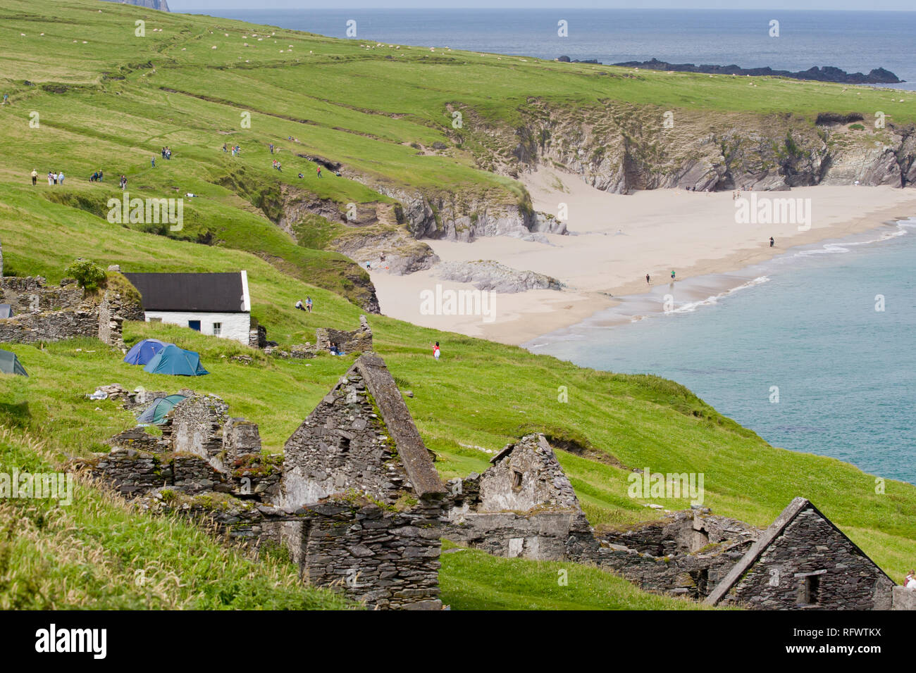 Ballaghanea IslandIslet · 1.1 mi
 Ballaghanea Island SouthIslet · 1.2 mi
 Welcome to VirginiaVisitor information · 1.3 mi