What is recorded here
Fairy fort / earthen ringfort in Cornamart,knockcroghery is a fairy fort or earthen ringfort in Cornamart,knockcroghery, County Roscommon, Ireland. The circular grass-covered area measures about 38m across and has a slight scarp 0.2m high on the crest of a low ridge. Two other raths stand within 200m to the northwest and southeast. The 1915 OS 6-inch map marked the site as a 40m circular feature.
Marked as a circular feature (diam. c. 40m) only on the 1915 ed. of the OS 6-inch map, and situated on the crest of the ENE-facing slope of a low NNW-SSE ridge. Circular grass-covered area (diam. c. 38m ENE-WSW) defined by a slight scarp (H c. 0.2m). Rath (RO042-063----) is c. 180m to the NW and rath (RO042-065----) is c. 190m to the SSE.
Compiled by: Michael Moore
Date of upload: 24 August 2010
The monument record does not grant public access. Check the route and ask the landowner before entering private land.
- What survives
- Recorded monument
Places near here
 Embanked enclosureFairy fort / earthen ringfort · 660 yd
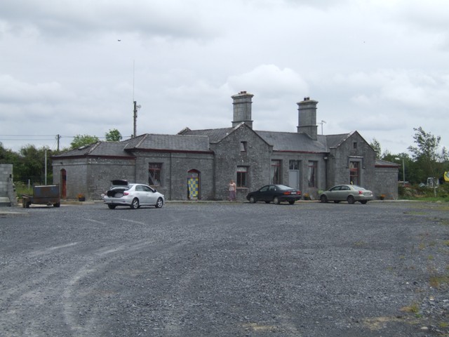 Knockcroghery Railway Stationrailway station · 996 yd
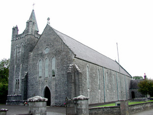 Saint Patrick's Catholic Churchchurch/chapel · 1026 yd
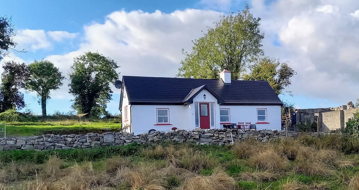 Not idicatedFairy fort / earthen ringfort · 1050 yd
 Hangman's HillMountain / peak · 1572 yd
 CastleCastle, tower house · 1.1 mi
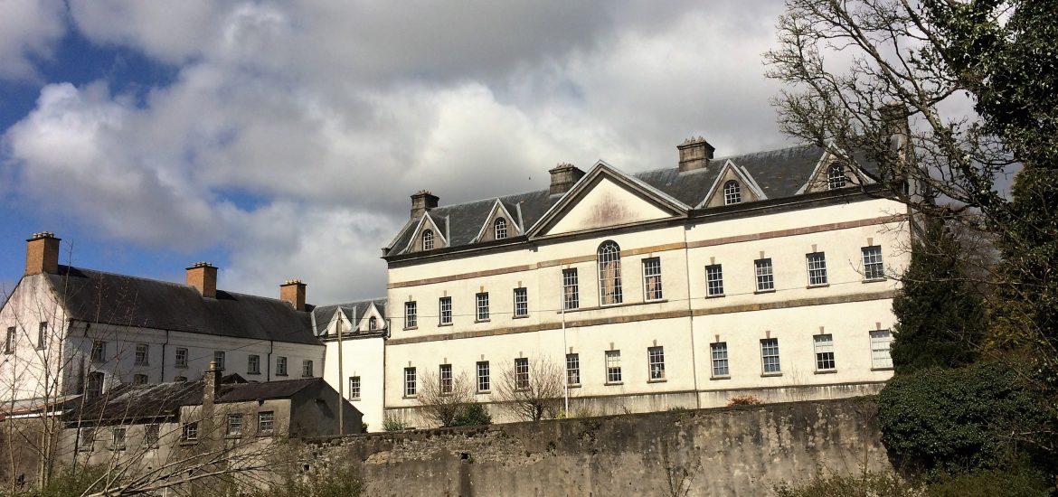 IndicatedCastle, unclassified · 1.3 mi
 Galey BayBay · 1.6 mi
 Cruit PointHeadland · 2.2 mi
 Sedgy IslandIslet · 2.8 mi
 Ballymurray ForestForest · 2.8 mi
 Dogs IslandIslet · 2.9 mi