What is recorded here
Fairy fort / earthen ringfort in Cornahawla: a circular embanked enclosure, roughly 40 to 45 metres across, sits at the east end of a drumlin ridge in County Monaghan. It appeared on the 1834 Ordnance Survey map in gothic lettering as a fort, yet no trace remains visible beneath today’s improved pasture. The land may have held a stronghold, a boundary marker or a place of ritual before ploughing and grazing erased its shape. What is certain is that the ridge once carried a made form large enough to survey, name and forget.
Located at the E end of a WNW-ESE drumlin ridge. A circular embanked enclosure (ext. diam. c. 40-45m) is depicted only on the 1834 edition of the OS 6-inch map where it is described in gothic lettering as a ‘fort’. No archaeological feature is visible at ground level in improved pasture.
The above description is derived from the published 'Archaeological Inventory of County Monaghan' (Dublin: Stationery Office, 1986). In certain instances the entries have been revised and updated in the light of recent research.
Compiled by: Michael Moore
Date of revision: 27 February 2018
The monument record does not grant public access. Check the route and ask the landowner before entering private land.
- What survives
- Recorded monument
Places near here
 Fairy fort / earthen ringfort in AghadreenanFairy fort / earthen ringfort · 622 yd
 Thornford Housestore/warehouse · 983 yd
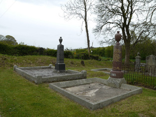 Broomfield Presbyterian ChurchGrave monument · 1463 yd
 IndicatedFairy fort / earthen ringfort · 1554 yd
 Fincarn HillMountain / peak · 1713 yd
 KnockreaghMountain / peak · 1.7 mi
 Whites IslandIslet · 2.2 mi
 Gully IslandIslet · 2.8 mi
 TobernagalliaghSpring · 3.3 mi
 Lough MucknoLake and park landscape · 3.4 mi
 Bawn in OnomyBawn · 3.4 mi
 Blaney CastleCastle · 3.4 mi