What is recorded here
Half-buried in Cavan marsh, the oval mound still rises on the ridge shoulder where quarrying bit through its skin. Men may have circled it with rope or fire, or it may be a fairy fort where human laws blur. The 1876 map named the site before forgetting it, preserving the chance that ownership and memory failed in the same breath.
Marked 'Fort (Site of)' on OS 1876 ed. Not marked on previous or subsequent eds. Situated on the S shoulder of a ridge of high ground in marshland. The possible remains of an enclosure represented by a raised oval-shaped mound which has been damaged by quarrying.
The above description is derived from the published 'Archaeological Inventory of County Cavan' (Dublin: Stationery Office, 1995). In certain instances the entries have been revised and updated in the light of recent research.
Date of upload/revision: 22 December 2008
The monument record does not grant public access. Check the route and ask the landowner before entering private land.
- What survives
- Recorded monument
Places near here
 Enclosure in KilleterEnclosure · 332 yd
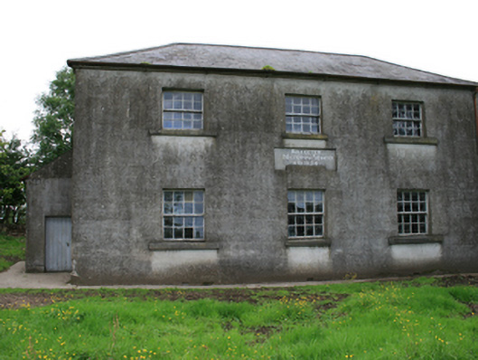 Killeter National Schoolschool · 618 yd
 R. C. ChapelChurch · 1129 yd
 Cornaglare or PalmiraMountain / peak · 1494 yd
 Sit of Old CastleCastle, unclassified · 1608 yd
 Green IslandPromontory fort, inland · 1.1 mi
 Crow IslandIslet · 1.1 mi
 Sally IslandIslet · 1.1 mi
 Cloghballybeg ForestForest · 1.6 mi
 Cloghbally LowerMountain / peak · 1.7 mi
 CastleCastle, tower house · 1.8 mi
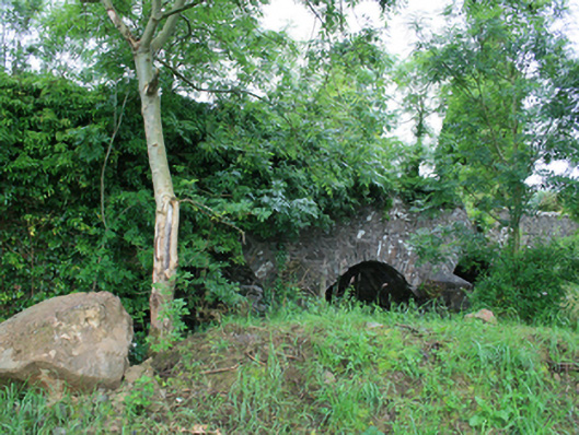 Skearke Bridgebridge · 1.0 mi