What is recorded here
Fairy fort / earthen ringfort in Cormoy Lower is a grass-covered rath, thirty-four metres wide, perched on a rise between drumlins in County Monaghan. Its overgrown earthen scarp still stands nearly two metres high at the northeast and over three metres at the southwest, though no entrance or ditch remains visible. A farm track brushes its base and a shed leans against the northwest bank, pulling the ancient circle into the rhythm of modern work. The shape endures while its purpose blurs, inviting wonder rather than certainty.
Situated on a rise in a low-lying landscape between drumlins. This rath could be the more westerly of two depicted in this part of Cormoy on McCrea’s map of County Monaghan (1793) (see (MO028-129----). This is a grass and scrub-covered area (diam. 34m NW-SE; 33.6m NE-SW) defined by a largely overgrown scarp (at NE: Wth 3.7m; H 1.8m; at SW: Wth 5.8m; H 3.4m). There is no visible fosse or identifiable original entrance. There is a farm track at the base of the scarp S-W and a farm shed impinges on the scarp at NW.
The above description is derived from the published 'Archaeological Inventory of County Monaghan' (Dublin: Stationery Office, 1986). In certain instances the entries have been revised and updated in the light of recent research.
Date of revision: 11 December 2017
The monument record does not grant public access. Check the route and ask the landowner before entering private land.
- What survives
- Recorded monument
Places near here
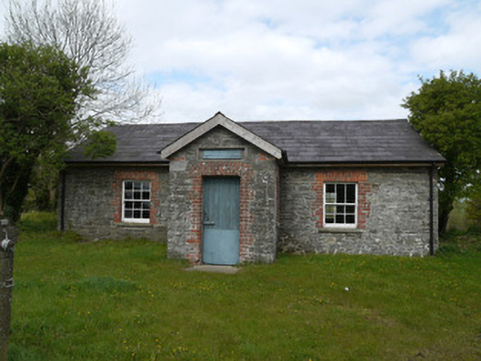 Drumlusty National Schoolschool · 568 yd
 IndicatedCrannog · 1673 yd
 Not indicaetdMan-made underground passage · 1.1 mi
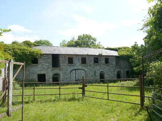 Capraghoutbuilding · 1.1 mi
 Mannan Castle (in ruins)Castle, Anglo-Norman masonry castle · 1.5 mi
 TobernagalliaghSpring · 2.8 mi
 Horse-chestnutHorse-chestnut · 3.4 mi
 KnockreaghMountain / peak · 3.9 mi
 European BeechEuropean Beech · 4.0 mi
 Fincarn HillMountain / peak · 5.5 mi
 MoatCastle, motte · 6.1 mi
 Gully IslandIslet · 6.2 mi