What is recorded here
Half a kilometre west of the main road, a grassy circle rises from the shoulder of Slieve Anierin. Its steep scarps and broken ditch mark a human-made ringfort, yet local tradition still calls it a fairy fort. The name warns that the land belongs to something else, something that does not explain itself.
Situated on a S-facing shoulder at the W foothills of Slieve Anierin. This is a grass-covered circular platform (diam. 26m N-S; 24m E-W) defined by a steep scarp (H 2m at N to 2.6m at E) with some bushes and traces of a bank (Wth 7m; int. H 0.8m) NW-N. There is an external fosse (at N: Wth of top 6.5m; Wth of base 2-3m; max. D 0.5m) NW-NE and SE-W (at W: Wth of top 6.4m; Wth of base 1.7m; D 0.5m). The entrance ramp (Wth 1.6m) and causeway (Wth 4.8m) are at the lowest point of the interior at S, and an E-W field bank skirts the outside of the fosse NW-NE. There is a hollow (L 7m; Wth 3m; D 0.3-0.8m) in the NE of the interior but no evidence of any stones which might suggest that it was a Man-made underground passage.
The above description is derived from 'The Archaeological Inventory of County Leitrim' compiled by Michael J. Moore (Dublin: Stationery Office, 2003). In certain instances the entries have been revised and updated in the light of recent research.
Date of upload: 23 September 2008
The monument record does not grant public access. Check the route and ask the landowner before entering private land.
- What survives
- Recorded monument
Places near here
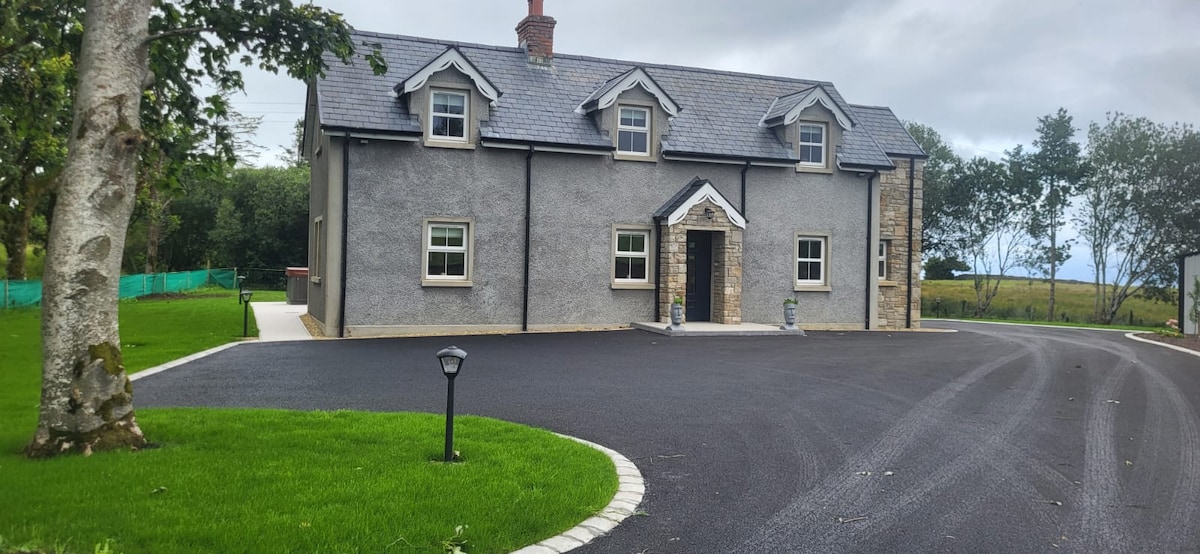 GubcormonganHeadland · 1359 yd
 Long IslandIslet · 1440 yd
 Round IslandIslet · 1635 yd
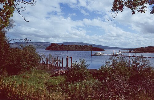 Lough AllenLarge freshwater lake · 1.0 mi
 Rocking StoneNamed rock · 1.4 mi
 Sweat HouseSweathouse · 1.5 mi
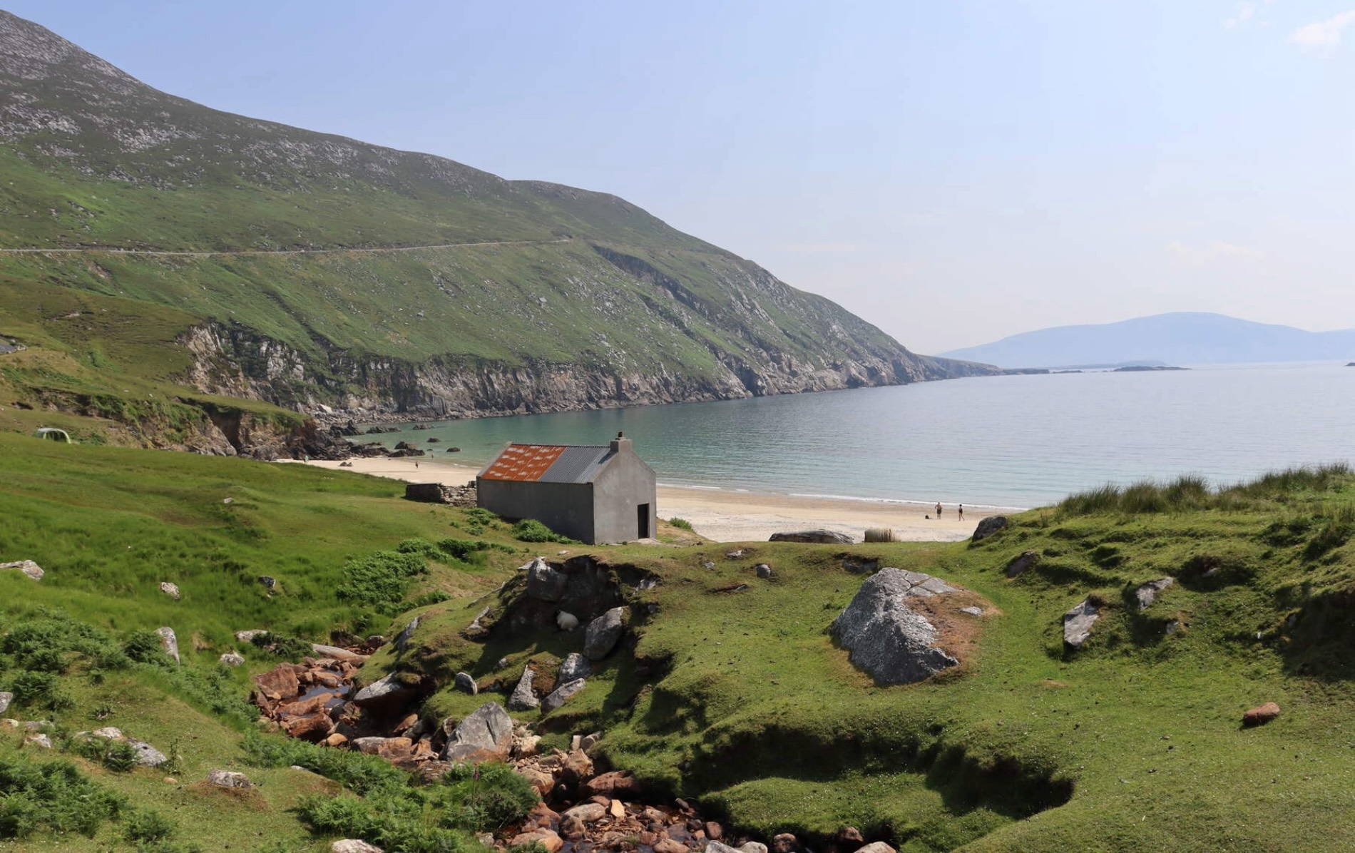 IndicatedFairy fort / earthen ringfort · 1.9 mi
 Temple na galliagh dooChurch · 2.0 mi
 Sliabh an IarainnMountain / peak · 2.2 mi
 Penal Mass station in TawnycorraghPenal Mass station · 2.3 mi
 Arigna Mining ExperienceMuseum · 4.0 mi
 BencroyMountain / peak · 4.2 mi