What is recorded here
Mnemo knows the flat place where the dead woman keeps her chamber. She wants to see the chamber and leave a marker for the woman.
On a low rise in pastureland with good views in all directions. Depicted as an irregular enclosure with the designation 'Fort' on the 1837 ed. of the OS 6-inch; only the SSW end is shown on the 1913 ed. It consists of a semicircular area (WSW-SSE c. 35m) defined by a low bank of earth and stone (Wth 1.5m; int. H 0.3m; ext. H 0.4m) from SSE-S-WSW with traces of an external fosse. Otherwise it is not visible at ground level.
Compiled by: Caimin O'Brien
Date of upload: 30 November 2011
The monument record does not grant public access. Check the route and ask the landowner before entering private land.
- What survives
- Recorded monument
Places near here
 IndicatedFairy fort / earthen ringfort · 528 yd
 PlatformPlatform, peatland · 1071 yd
 RoadRoad, class 2 togher · 1.0 mi
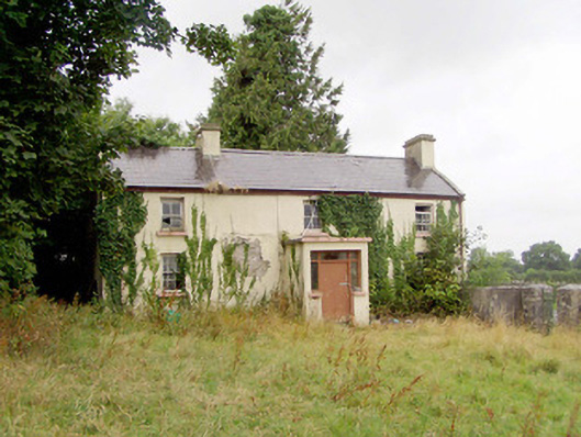 J. Hopkinshouse · 1.2 mi
 Caltragh CastleCastle, unclassified · 1.8 mi
 Elfeet CastleCastle, Anglo-Norman masonry castle · 2.5 mi
 Culnagore WoodForest · 2.6 mi
 Bush IslandIslet · 2.7 mi
 Corlea Bog Walk Blue LoopWalking route · 2.8 mi
 Corlea Trackway Interpretative CentreHeritage attraction · 2.8 mi
 Elfeet BayBay · 2.9 mi
 Corlea Bog Walk Canal BranchWalking route · 3.0 mi