What is recorded here
Fairy fort / earthen ringfort in Cormackstown is a fairy fort or earthen ringfort in Cormackstown, County Tipperary, Ireland. It occupies the summit of a hill in rolling pastureland and marks a roughly circular area 44 metres north-south and 32.5 metres east-west. A gravelly earth and stone bank, 1.3 metres wide, 0.6 metres high internally and 1.6 metres high externally, defines the perimeter. The eastern sector has lost a large portion to quarrying for a nearby limekiln, truncating the bank at the northeast, while no trace of a fosse or entrance feature remains visible.
Situated on the summit of a hill in rolling pastureland. A roughly circular area (diam. 44m N-S; 32.5m E-W) defined by a gravelly earth and stone bank (Wth 1.3m; int. H 0.6m; ext. H 1.6m). On the 1st (1843) and 2nd (1952-53) ed. OS 6-inch map a limekiln is depicted in E sector. A large portion of the E sector has been quarried out to provide stone for this kiln and at NE the bank has been truncated. No trace of a fosse or entrance feature.
The above description is derived from 'The Archaeological Inventory of County Tipperary. Vol. 1 - North Tipperary' compiled by Jean Farrelly and Caimin O'Brien (Dublin: Stationery Office, 2002). In certain instances the entries have been revised and updated in the light of recent research.
Date of upload/revision: 22 September 2008
The monument record does not grant public access. Check the route and ask the landowner before entering private land.
- What survives
- Recorded monument
Places near here
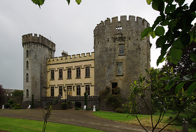 Farney Castlecastle/fortified house · 435 yd
 Farney Bridgebridge · 542 yd
 Black Castle (in ruins)Castle, unclassified · 572 yd
 Ecclesiastical enclosure in GarrynamonaEcclesiastical enclosure · 1179 yd
 TullaunEnclosure · 1533 yd
 IndicatedBawn · 1.1 mi
 Cormackstown Heritage CentreMuseum · 1.1 mi
 KnockaneMountain / peak · 3.1 mi
 Pallas HillMountain / peak · 3.2 mi
 European ashEuropean ash · 3.5 mi
 Lár na PáirceMuseum · 3.5 mi
 Wildlife CorridorWood · 3.7 mi