What is recorded here
Fairy fort in Corloughtomalty is a slightly raised circular area about twenty metres wide, set on a drumlin beneath coniferous trees and marked by a band of rushes. It appeared on the 1907 OS map as a larger circular feature, but the ground now shows only a quiet ring beside a forestry drain. People may have stood there, watched the land or kept something hidden beneath the rushes.
Located on top of a drumlin in a coniferous forest. It is marked only on the 1907 edition of the OS 6-inch map as a circular hachured feature (diam c. 50m). This is a slightly raised circular area (diam. 20m) defined by a band of rushes and surrounded by a forestry drain.
The above description is derived from 'The Archaeological Inventory of County Leitrim' compiled by Michael J. Moore (Dublin: Stationery Office, 2003). In certain instances the entries have been revised and updated in the light of recent research.
Date of upload: 23 September 2008
The monument record does not grant public access. Check the route and ask the landowner before entering private land.
- What survives
- Recorded monument
Places near here
 LisdrumgranFairy fort / earthen ringfort · 962 yd
 IndicatedFairy fort / stone ringfort · 1132 yd
 Church (in Ruins)Church · 1571 yd
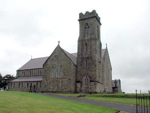 Saint Brigid's Catholic Churchchurch/chapel · 1713 yd
 Drummans IslandIslet · 2.2 mi
 Corry ShoalIslet · 3.0 mi
 Black PoplarBlack Poplar · 3.1 mi
 European ashEuropean ash · 3.1 mi
 Forde's CastleCastle · 3.2 mi
 ArdlougherMountain / peak · 3.8 mi
 Scardan WaterfallWaterfall · 3.8 mi
 Seltannasaggart SE SlopeMountain / peak · 4.1 mi