What is recorded here
Fairy forts are human ringforts misnamed by folklore, and this was one: a circular embanked enclosure about forty-five metres across on a slight col of a broad east-west ridge in County Monaghan. It appeared as a fort on the 1834 map and still showed as a hachured circle in 1907, but had been removed by the 1940s. Under the pasture now, its bank and ditch may still mark the shape of a small defended place that people lived in, worked around and stopped visiting.
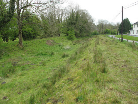
Situated is a slight col of a broad E-W ridge with rising ground to the W and E. This feature is depicted as a circular embanked enclosure (ext. diam. c.45m) on the 1834 edition of the OS 6-inch map where it is described in gothic lettering as a ‘fort’ and it is depicted as a circular hachured feature (ext. diam. c. 45m) on the 1907 edition. It had been removed by the 1940s (SMR file) and no archaeological feature is visible now at ground level in pasture.
The above description is derived from the published 'Archaeological Inventory of County Monaghan' (Dublin: Stationery Office, 1986). In certain instances the entries have been revised and updated in the light of recent research.
Date of revision: 29 January 2018
The monument record does not grant public access. Check the route and ask the landowner before entering private land.
- What survives
- Recorded monument
Places near here
 LisarrillyFairy fort / earthen ringfort · 801 yd
 Giants GraveCourt tomb · 803 yd
 Lisarrilly HillMountain / peak · 1207 yd
 Roosky Castle (Site of)Castle, ringwork · 1627 yd
 Church in Templetate (dartree By., Clones Par.)Church · 1.2 mi
 canal (section of)canal (section of) · 1.2 mi
 Jaundice WellSpring · 2.2 mi
 KillycoonaghWood · 3.1 mi
 Common LimeCommon Lime · 3.2 mi
 Saint John's WellSpring · 3.3 mi
 Rough HillMountain / peak · 3.7 mi
 Dagda's CauldronHeritage attraction · 4.5 mi