What is recorded here
Magic fort is a misreading. The facts shape a human ringfort, damaged but real. The mystery is not fantasy, it is memory: people lived there, built there, and left a mark the land still holds.
On an E-facing slope in grassland. Marked on the OS 6-inch maps as a subcircular enclosure (c. 35m E-W; c. 33m N-S), this possible rath is now defined by scarp (max. H 1.5m) and is rectangular in plan (27m x 22m) as a result of the squaring off of the NW and NE sectors by a tractor trackway. A field wall clipping ahe SW quadrant may overlie the line of the original bank. Another tractor trackway runs through the interior of the monument to the E of this field boundary. A possible house site (GA114-057006-) lies to the NW.
Compiled by: Galway Archaeological Survey, UCG
Date of upload: 26 February 2019
The monument record does not grant public access. Check the route and ask the landowner before entering private land.
- What survives
- Recorded monument
Places near here
 HawthornHawthorn · 10 yd
 CrossCross · 62 yd
 European ashEuropean ash · 63 yd
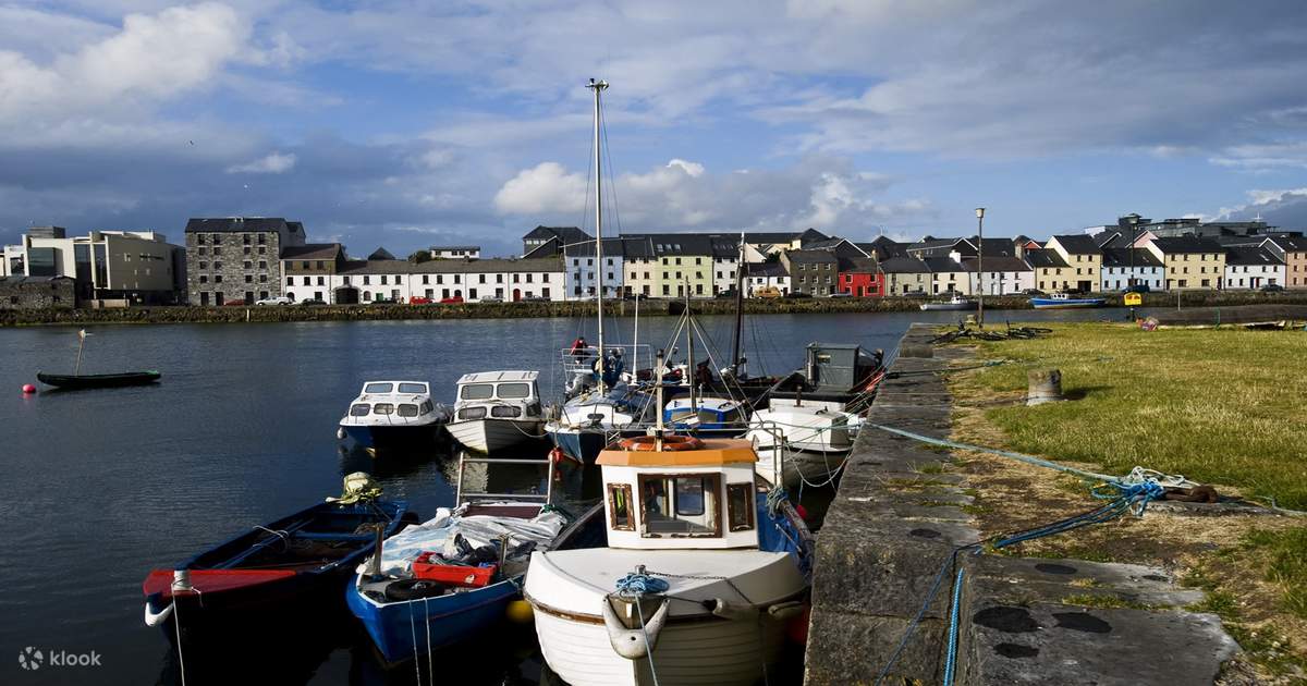 IndicatedChurch · 66 yd
 CaveMan-made underground passage · 981 yd
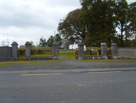 Tullira Castlegates/railings/walls · 1636 yd
 Ballylee CastleCastle, tower house · 1.4 mi
 Ballymaquiff CastleCastle · 1.5 mi
 Drumharsna CastleHeritage attraction · 2.5 mi
 Kilmacduagh Monastic SiteVisitor information · 5.7 mi
 Kilmacduagh MonasteryHeritage attraction · 5.8 mi
 Mulroney's IslandIslet · 6.5 mi