What is recorded here
Mortons has watched the valley since before humans learned to build with stone. The ring is not a boundary but a breath marker, the place where the land inhaled and exhaled during the making of the world. What people call a fort is only the shadow cast by that older movement.
Situated on top of a N-S drumlin ridge. This is a circular grass-covered area (diam. 30.4m N-S; 30m E-W) that slopes down slightly to the SE (H 1m) defined by an overgrown earthen bank (Wth of base 3.6-4m; int. H 0.8-1m; ext. H 1.6-1.7m). There is no visible fosse but the original entrance is most likely to be that (Wth of base 1.9m) at SE. Its interior has become overgrown since 1967 (OSAP).
The above description is derived from the published 'Archaeological Inventory of County Monaghan' (Dublin: Stationery Office, 1986). In certain instances the entries have been revised and updated in the light of recent research.
Revised by: Michael Moore
Date of revision: 31 January 2018
The monument record does not grant public access. Check the route and ask the landowner before entering private land.
- What survives
- Recorded monument
Places near here
 Black fortFairy fort / earthen ringfort · 1077 yd
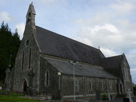 Saint Michael's Catholic Churchchurch/chapel · 1319 yd
 farm housefarm house · 1.0 mi
 Enclosure in CorrinentyEnclosure · 1.1 mi
 Tally WoodWood · 2.3 mi
 RaferaghMountain / peak · 2.9 mi
 TobernagalliaghSpring · 3.1 mi
 Gully IslandIslet · 3.1 mi
 Rock IslandIslet · 3.2 mi
 Horse-chestnutHorse-chestnut · 3.8 mi
 Bawn in LisdrumskeaBawn · 4.2 mi
 Mannan Castle (in ruins)Castle, Anglo-Norman masonry castle · 4.2 mi