What is recorded here
Fairy fort / earthen ringfort in Corkagh Beg is a fairy fort or earthen ringfort in Corkagh Beg, County Sligo, Ireland. It occupies hilly coastal pasture as a raised subcircular area measuring 30.8 metres north-northeast to south-southwest and 26.4 metres west-northwest to east-southeast. A low bank of earth and stone, 5.1 metres wide and 0.1 to 0.5 metres high internally, encloses most of the site, while a broad scarp 0.9 to 2.5 metres high defines the north-northwest to east-southeast and west-southwest sections. A modern 4.3 metre entrance at the northwest may mark the original opening.
Situated in hilly, coastal pasture. Raised subcircular area (dims. 30.8m NNE-SSW; 26.4m WNW-ESE) enclosed by a low bank of earth and stone (Wth. 5.1m; int. H 0.1m - 0.5m) except from NNW-N-ESE and at WSW where the defining element is a broad scarp (H 0.9m - 2.5m). No fosse. Modern entrance at NW (Wth. 4.3m) may mark the site of the original.
Compiled by: Patrick F. O'Donovan
Date of upload: 19 January 2011
The monument record does not grant public access. Check the route and ask the landowner before entering private land.
- What survives
- Recorded monument
Places near here
 Enclosure in LaraghEnclosure · 545 yd
 Dunmoran StrandBeach / strand · 747 yd
 IndicatedFairy fort / earthen ringfort · 881 yd
 Templeboy Church (in Ruins)Church · 1061 yd
 Aughris BeachBeach / strand · 1172 yd
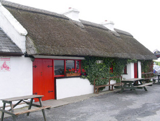 public housepublic house · 1432 yd
 CastleCastle, Anglo-Norman masonry castle · 1.4 mi
 Aughris HeadHeadland · 1.6 mi
 Bawn in CarrowbrickeenBawn · 3.1 mi
 Derkmore PointHeadland · 3.4 mi
 Giant's GraveArchaeological place · 4.2 mi
 Valley WoodForest · 4.3 mi