What is recorded here
Thirty years of conifer shade and root pressure have likely swallowed the earthen ring at Corick. The site vanished not in a night but gradually, as soil settled, trees grew and memory thinned. What remains is a absent circle, forty-five metres across in imagination rather than measurement.
Situated within a large modern plantation of coniferous trees. An earlier report (OPW 1969) described a raised circular area (int. diam. c. 45m) enclosed by a low earthen bank and a wide, shallow fosse which was identifiable only from NNW-N-NNE and from SW-S-SSE. Modern laneway skirted the site from W-NW. Original entrance was not recognisable. Internal area was divided into two unequal portions by a modern field boundary running N-S. Not located subsequently.
The above description is derived from the published 'Archaeological Inventory of County Cavan' (Dublin: Stationery Office, 1995). In certain instances the entries have been revised and updated in the light of recent research.
Date of upload/revision: 22 December 2008
The monument record does not grant public access. Check the route and ask the landowner before entering private land.
- What survives
- Recorded monument
Places near here
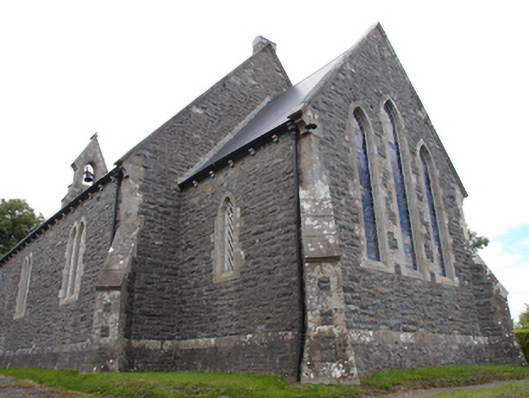 St Mark's Church of Ireland Churchchurch/chapel · 574 yd
 St Brigid's Roman Catholic Churchchurch/chapel · 776 yd
 Giants GraveArchaeological place · 1707 yd
 Cabragh RingfortArchaeological place · 1717 yd
 Cordoagh Glebe Upper ForestForest · 1.0 mi
 Tullyvin WoodForest · 1.2 mi
 Site of Old CastleCastle, unclassified · 1.3 mi
 CornanurneyMountain / peak · 1.4 mi
 Gallows HillFairy fort / earthen ringfort · 1.5 mi
 CastleCastle, unclassified · 1.8 mi
 CorickMountain / peak · 1.8 mi
 Not inidicatedChurch · 777 yd