What is recorded here
Marianne and Denis watched the camera woman leave the car park at Dromruana. They had no idea she was filming a documentary about the history of Irish forts. They thought they were helping an ordinary visitor find her way through the brambles. The woman filmed the ringfort, the castle ruins and the old road without explaining that the programme would introduce people to the hidden history of the county. Marianne later learned the truth when the documentary appeared on television. She smiled because an act of kindness had become part of a story told to thousands of people.
In marshy low-lying area, on gentle NW-facing slope. Oval area (24m N-S; 17.5m E-W) defined by scarped edge (H 1.2m; Wth 4m) with external fosse (Wth 2.25m; D 0.5m), and counterscarp bank (int. H 0.5m; ext. H 0.7m) W->NNE. Much of site is covered by dense overgrowth of brambles and gorse. Interior slopes down gently to N following natural gradient.
Compiled by: Denis Power
Date of upload: 26 August 2011
The monument record does not grant public access. Check the route and ask the landowner before entering private land.
- What survives
- Recorded monument
Places near here
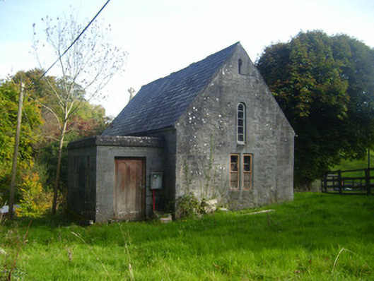 Foynes Church (Shanagolden)church/chapel · 831 yd
 RoadRoad, road/trackway · 838 yd
 CairnCairn, unclassified · 931 yd
 BarrowBarrow, ring-barrow · 1077 yd
 Robertstown Castle (in ruins)Castle, tower house · 1592 yd
 Foynes Flying Boat & Maritime MuseumMuseum · 1700 yd
 Foynes Island ViewpointViewpoint · 1.2 mi
 Gammarel PointHeadland · 1.3 mi
 Foynes IslandIsland · 1.7 mi
 Dysert Castle (in ruins)Castle, tower house · 1.9 mi
 Battery PointHeadland · 1.9 mi
 Monterey CypressMonterey Cypress · 2.4 mi