
What is recorded here
In gently undulating pasture. Cairn of stones visible on aerial photograph (St Joseph AVQ 72) has been removed. A slight rise in ground level is only possible evident trace of this feature.
Compiled by: Denis Power
Date of upload: 26 August 2011
A local ancient tomb; wider significance not recorded.
This remains an important historical record, but the official description says the monument is no longer visible or has been destroyed. The monument record does not grant public access. Check the route and ask the landowner before entering private land.
- What survives
- No visible remains or recorded as destroyed
Places near here
 RoadRoad, road/trackway · 204 yd
 BarrowBarrow, ring-barrow · 206 yd
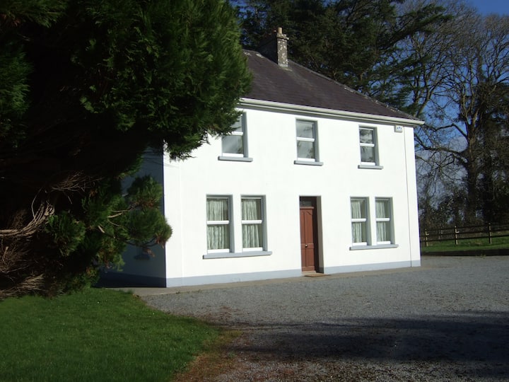 Enclosure in Shanagolden DemesneEnclosure · 695 yd
 St. Patricks Church (in ruins)Church · 1269 yd
 Robertstown Castle (in ruins)Castle, tower house · 1693 yd
 Foynes Flying Boat & Maritime MuseumMuseum · 1.5 mi
 Foynes Island ViewpointViewpoint · 1.7 mi
 Gammarel PointHeadland · 1.8 mi
 Dysert Castle (in ruins)Castle, tower house · 2.0 mi
 Foynes IslandIsland · 2.2 mi
 Battery PointHeadland · 2.4 mi
 Monterey CypressMonterey Cypress · 2.5 mi
Other information
Photo: Credit not shown in the picture search · Rights wording not checked; contact us if this picture should be removed