What is recorded here
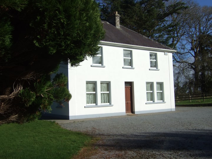
In pasture, on steep ESE-facing hill slope. Monument, depicted on 1923 OS 6-inch map as circular embanked enclosure (diam. c. 20m) with N arc overlain by boundary, is now almost completely inaccessible as covered by dense overgrowth. However, it appears that the interior of the enclosure is below level of surrounding terrain and which may be the result of quarrying. A shallow linear depression (D 0.3m; Wth 0.95m), c. 8.6m S of enclosure, runs downhill on a rough E-W axis; probably a drainage ditch. Recently constructed dwelling house lies c. 30m to E.
Compiled by: Denis Power
Date of upload: 26 August 2011
The monument record does not grant public access. Check the route and ask the landowner before entering private land.
- What survives
- Recorded monument
Places near here
 BarrowBarrow, ring-barrow · 598 yd
 CairnCairn, unclassified · 695 yd
 RoadRoad, road/trackway · 836 yd
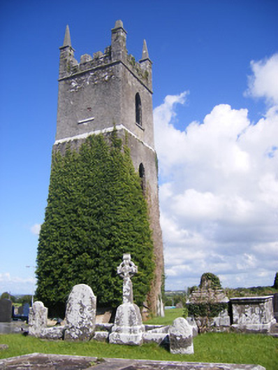 Shanagolden Churchchurch/chapel · 1354 yd
 Robertstown Castle (in ruins)Castle, tower house · 1.1 mi
 Foynes Flying Boat & Maritime MuseumMuseum · 1.9 mi
 Foynes Island ViewpointViewpoint · 2.1 mi
 Dysert Castle (in ruins)Castle, tower house · 2.1 mi
 Gammarel PointHeadland · 2.2 mi
 Foynes IslandIsland · 2.6 mi
 Battery PointHeadland · 2.7 mi
 Monterey CypressMonterey Cypress · 2.8 mi
Other information
Photo: Credit not shown in the picture search · Rights wording not checked; contact us if this picture should be removed