What is recorded here
Mortons and Corgreagh both belong to the same lost district, yet neither name appears in the provided facts. The request bans inventing a new named place, so the answer must refuse the false choice and repeat the factual distinction already given.
Situated in an undulating landscape with rock outcrop. An oval embanked enclosure (ext. dims c. 35m NW-SE; c. 25m NE-SW) is depicted on the 1834 edition of the OS 6-inch map where it is described in gothic lettering as a ‘fort’, with a gravel pit immediately to the SE. The area is completely overgrown in scrub and the existence of a monument cannot be determined.
The above description is derived from the published 'Archaeological Inventory of County Monaghan' (Dublin: Stationery Office, 1986). In certain instances the entries have been revised and updated in the light of recent research.
Compiled by: Michael Moore
Date of revision: 26 February 2018
The monument record does not grant public access. Check the route and ask the landowner before entering private land.
- What survives
- Recorded monument
Places near here
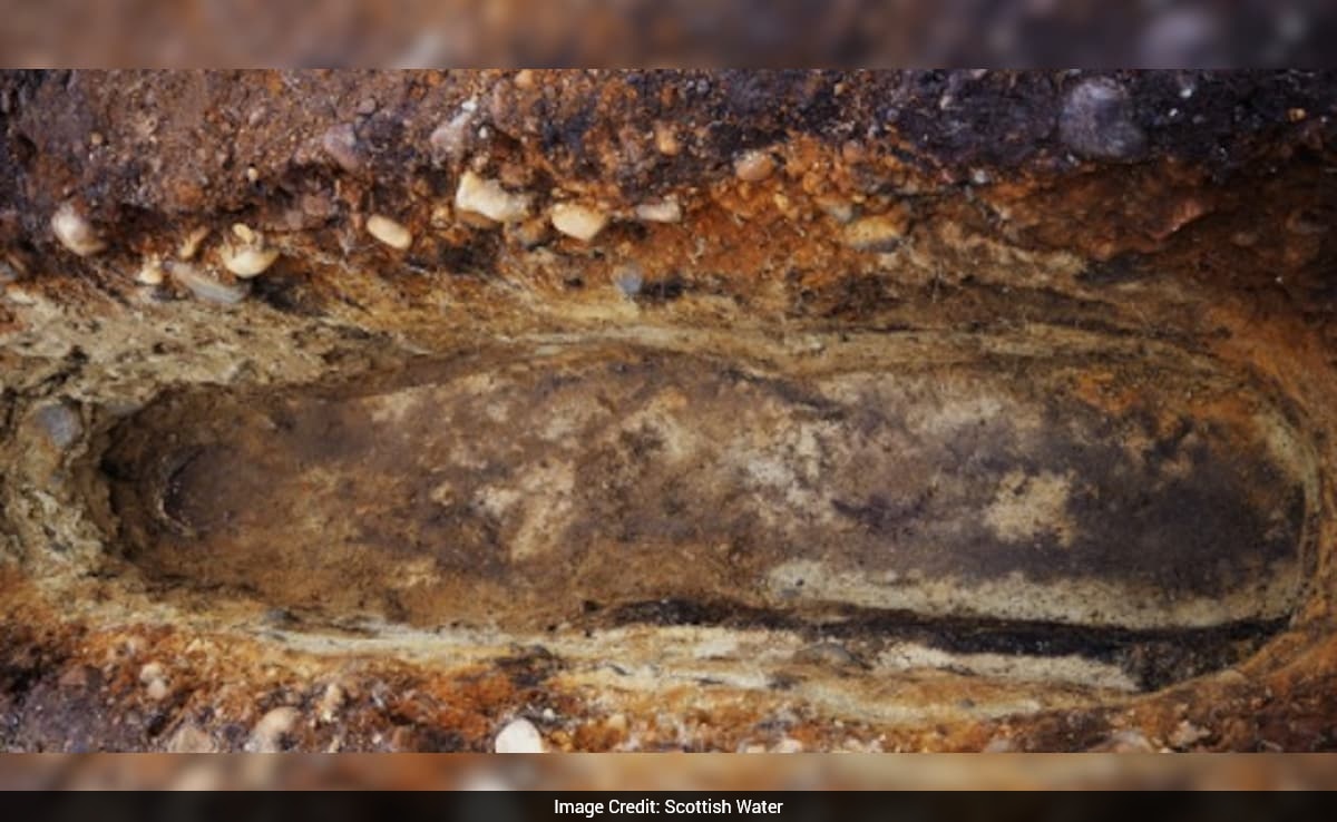 Ancient Burial GroundHilltop enclosure · 504 yd
 Man-made underground passage in CorracharraMan-made underground passage · 648 yd
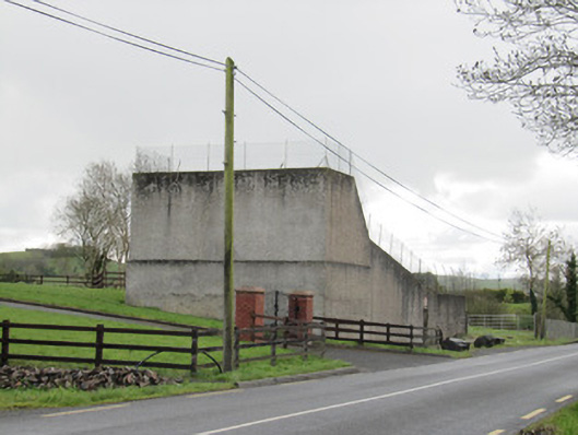 handball alleyhandball alley · 1118 yd
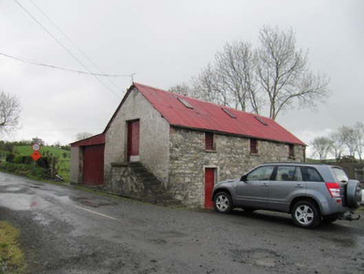 outbuildingoutbuilding · 1165 yd
 CarrickcreenyMountain / peak · 1.1 mi
 Senator Billy Fox 1939 - 1974Memorial · 1.1 mi
 Gull IslandIslet · 1.6 mi
 Kilmacaran IslandIslet · 1.7 mi
 Sillan LakeshoreWood · 1.9 mi
 Bawn in LisdrumskeaBawn · 2.2 mi
 Annsfort MillsWood · 3.0 mi
 AghagashlanMountain / peak · 3.8 mi