What is recorded here
Fairy fort in Corduff, County Monaghan: a circular embanked enclosure about 40m wide, marked as a fort on the 1834 map and still faintly visible in pasture at the SE tip of a NW-SE spur. People may have lived, herded or hidden there before the field was improved, while local story more often calls such rings fairy forts, as if the land kept a room for what will not be explained.
Located at the SE tip of a NW-SE spur. A circular embanked enclosure (ext. diam. c. 40m) is depicted on the 1834 edition of the OS 6-inch map where it is described in gothic lettering as a ‘fort’, and it is represented as a circular hachured feature (ext. diam. c. 50m N-S; c. 45m E-W) on the 1907 edition. Slight traces of a circular enclosure (diam. c. 34-38m) are visible in improved pasture.
The above description is derived from the published 'Archaeological Inventory of County Monaghan' (Dublin: Stationery Office, 1986). In certain instances the entries have been revised and updated in the light of recent research.
Revised by: Michael Moore
Date of revision: 1 February 2018
The monument record does not grant public access. Check the route and ask the landowner before entering private land.
- What survives
- Recorded monument
Places near here
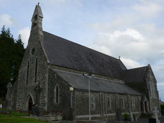 Saint Michael's Catholic Churchchurch/chapel · 539 yd
 farm housefarm house · 1302 yd
 Black fortFairy fort / earthen ringfort · 1.2 mi
 Enclosure in CorrinentyEnclosure · 1.2 mi
 RaferaghMountain / peak · 2.4 mi
 Tally WoodWood · 2.5 mi
 TobernagalliaghSpring · 3.6 mi
 NorthlandsWood · 3.6 mi
 Gully IslandIslet · 3.6 mi
 Rock IslandIslet · 3.6 mi
 Bawn in LisdrumskeaBawn · 3.7 mi
 CarrickcreenyMountain / peak · 4.0 mi