What is recorded here
Magic circles in the fields of Louth. Drop a pin, turn off the internet, walk the ring twice and ask one question. The soil answers in dreams, not words. Be kind to the field and it is kind back.
Situated on a gentle S-facing slope in the valley of an E-W section of the meandering Mattock River, with the stream c. 150m to the S. The cropmark of a subcircular enclosure (int. dims c. 41m NW-SE; c. 36m NE-SW) defined by a slight fosse separated by the parch mark of a bank (Wth c. 3-4m) from an outer wider fosse (ext. diam. c. 53m NW-SE; c. 46m NE-SW) is visible only on Apple Maps. There is an entrance (Wth c. 3m) through the outer fosse but not the inner one at SE. It was first reported by Ian Lennon.
See the attached view from Apple Maps
Compiled by: Michael Moore
Date of upload: 2 December 2020
The monument record does not grant public access. Check the route and ask the landowner before entering private land.
- What survives
- Recorded monument
Places near here
 Irish Military Museum And ParkMuseum · 965 yd
 Pedunculate OakPedunculate Oak · 1352 yd
 Drummond TowerCastle · 1550 yd
 Enclosure in BarabonaEnclosure · 1639 yd
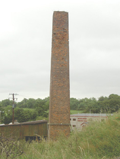 chimneychimney · 1718 yd
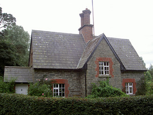 Monasterboice Housegate lodge · 1745 yd
 BarabonaMountain / peak · 1758 yd
 Black HillMountain / peak · 1.0 mi
 Settlement cluster in CollonSettlement cluster · 1.2 mi
 Monasterboice Round TowerHeritage attraction · 1.8 mi
 European ashEuropean ash · 1.8 mi
 CastleCastle, unclassified · 2.5 mi