What is recorded here
Cordoagh Glebe Upper holds a twenty-eight-metre earthen ring where human hands first shaped the land. Farming later cut through its southern edge, yet the deep fosse and raised bank still mark the boundary between ordinary ground and forgotten life. The fairies may have taken the entrance, but the circle remains intact enough to invite wonder.
Raised circular area (int. diam. c. 28m) enclosed by a substantial earthen bank and a wide, deep fosse. The perimeter has been levelled from NNE-S-WSW. Elsewhere it has been modified and incorporated into the field boundary. Original entrance not recognisable.
The above description is derived from the published 'Archaeological Inventory of County Cavan' (Dublin: Stationery Office, 1995). In certain instances the entries have been revised and updated in the light of recent research.
Date of upload/revision: 22 December 2008
The monument record does not grant public access. Check the route and ask the landowner before entering private land.
- What survives
- Recorded monument
Places near here
 Cordoagh Glebe Upper ForestForest · 565 yd
 Cabragh RingfortArchaeological place · 567 yd
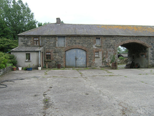 farmyard complexfarmyard complex · 1290 yd
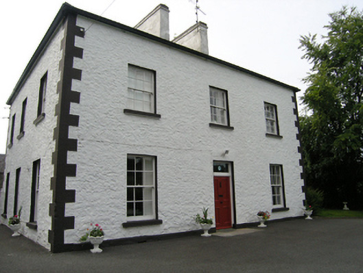 Cabragh Househouse · 1598 yd
 Tullyvin WoodForest · 1636 yd
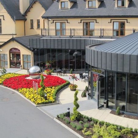 Errigal RingfortArchaeological place · 1.1 mi
 Site of Old CastleCastle, unclassified · 1.2 mi
 CastleCastle, unclassified · 1.3 mi
 CorickMountain / peak · 1.4 mi
 Giants GraveArchaeological place · 1.6 mi
 Brown's HillMountain / peak · 1.9 mi
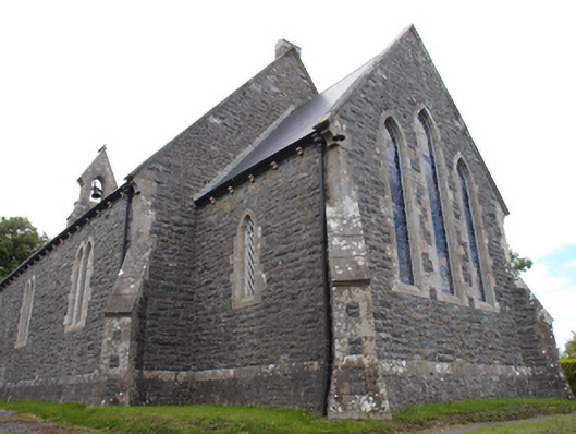 St Mark's Church of Ireland Churchchurch/chapel · 1733 yd