What is recorded here
Mortons and others lived beside the fort, but nobody knows when or why the ring closed. It is not a castle, a temple or a boundary marker. It is a small earth work on a farm landscape, and the absence of a visible entrance refuses the usual explanation. The fort still exists, but its purpose has escaped every hand that touched it.
Situated in a slight col on a NW-SE spur. This is a circular overgrown area (diam. c. 30m) that slopes down to the N, which is defined by an overgrown earthen bank (at S: Wth 3.5m; int. H 1m; ext. H 1.6m) that is reduced to an overgrown scarp at N (H 1.6m). There is no visible fosse or entrance.
The above description is derived from the published 'Archaeological Inventory of County Monaghan' (Dublin: Stationery Office, 1986). In certain instances the entries have been revised and updated in the light of recent research.
Date of revision: 28 July 2017
The monument record does not grant public access. Check the route and ask the landowner before entering private land.
- What survives
- Recorded monument
Places near here
 Man-made underground passage in RossdreenaghMan-made underground passage · 891 yd
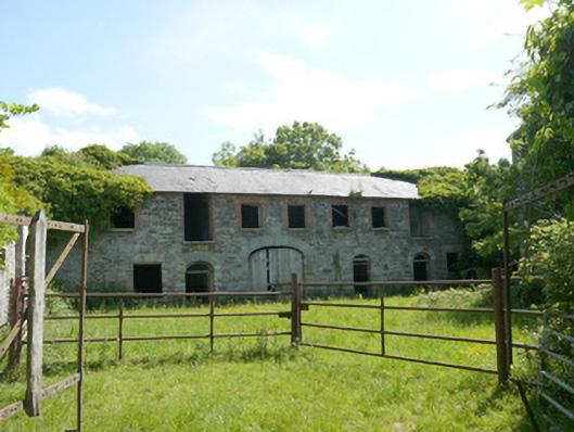 Capraghoutbuilding · 1125 yd
 Corcrin Bridgebridge · 1204 yd
 Man-made underground passage in TrostanMan-made underground passage · 1.1 mi
 Mannan Castle (in ruins)Castle, Anglo-Norman masonry castle · 1.7 mi
 Horse-chestnutHorse-chestnut · 2.0 mi
 European BeechEuropean Beech · 2.5 mi
 TobernagalliaghSpring · 3.0 mi
 Flat cemetery in AnnaheanFlat cemetery · 4.6 mi
 RathneestinCastle, tower house · 6.4 mi
:no_upscale()/cdn.vox-cdn.com/uploads/chorus_asset/file/25593391/County_Louth_6th.jpg) LouthMountain / peak · 6.8 mi
LouthMountain / peak · 6.8 mi Ballsmill Amenity LandPicnic place · 9.3 mi