What is recorded here
Mud and memory collide where the waterlogged fosse bites into the earth. The causeway still points southeast, guiding feet across a boundary drawn before human arrogance forgot how to ask permission. Vegetation strangles the bank, hiding the shape of the chamber but failing to erase the pressure it exerted. What was built there is no longer visible, only measurable in the way the land resists forgetting.
Raised circular area (int. diam. c. 38m) enclosed by a slight earthen bank and a wide, deep, waterlogged fosse. Break in bank with remains of accompanying causeway at SE represents original entrance. Densely overgrown with vegetation.
The above description is derived from the published 'Archaeological Inventory of County Cavan' (Dublin: Stationery Office, 1995). In certain instances the entries have been revised and updated in the light of recent research.
Date of upload/revision: 22 December 2008
The monument record does not grant public access. Check the route and ask the landowner before entering private land.
- What survives
- Recorded monument
Places near here
 Ceremonial enclosure in NeddaiaghCeremonial enclosure · 983 yd
 Drumcarn Ho.Castle, unclassified · 1168 yd
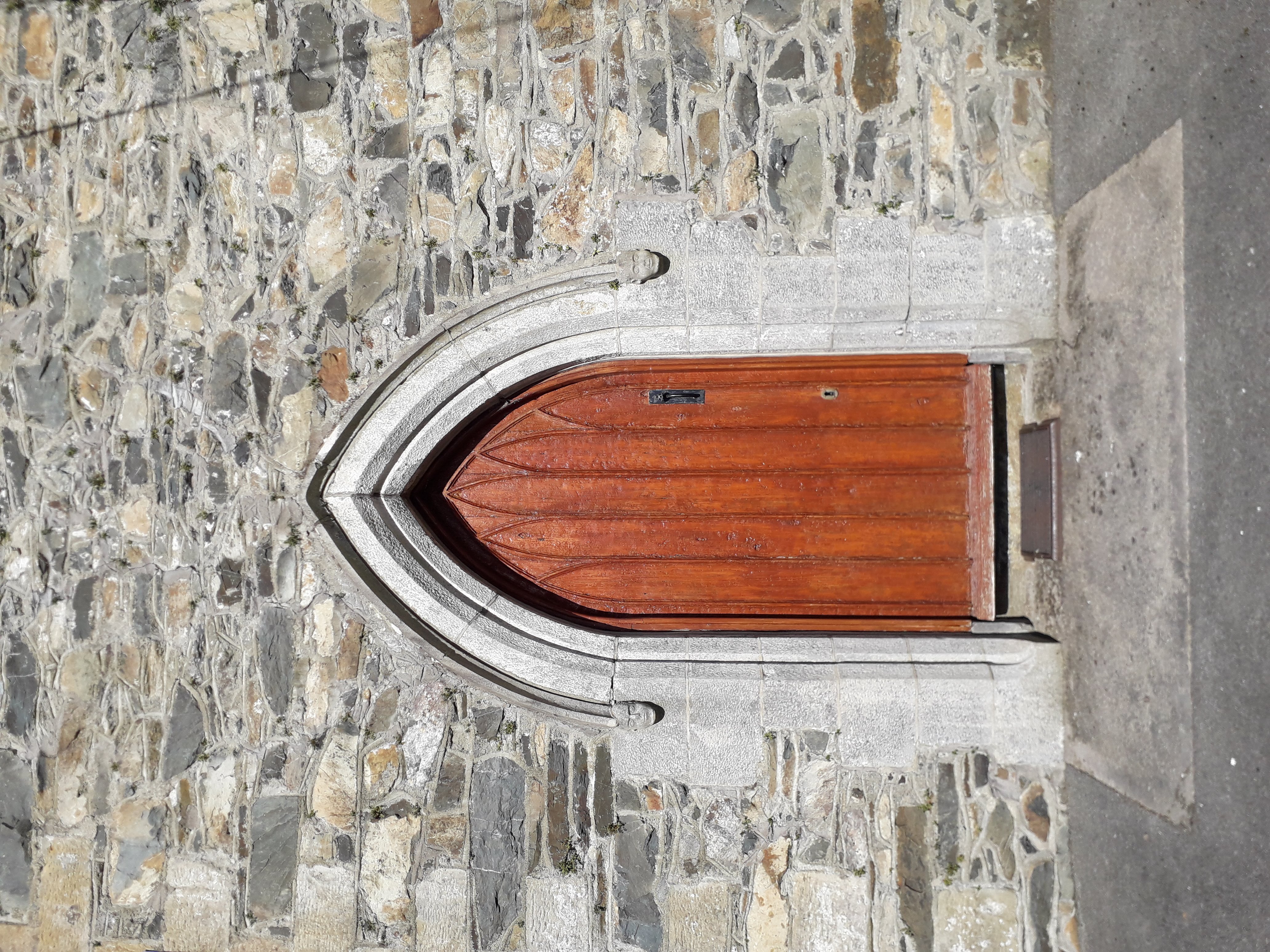
 St Mary's Roman Catholic Churchchurch/chapel · 1337 yd
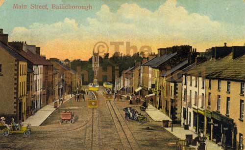 Mass-rock in Longfield (drumcarn Ed)Mass-rock · 1588 yd
 Bunnoe Bridgebridge · 1.1 mi
 CastleCastle, unclassified · 1.2 mi
 CorrakeeranMountain / peak · 1.3 mi
 ArdamaghMountain / peak · 1.9 mi
 Giant's GraveArchaeological place · 2.4 mi
 KilloughterWood · 2.8 mi
 StoneparkWood · 2.9 mi
 Garden IsleIslet · 2.9 mi