What is recorded here
Fairy fort in Corcamore, County Limerick: an earthen ringfort, oval, about 32 metres north-south and 27 metres east-west, still marking the pasture though trees and grass have softened its edges. It is the kind of place where people once drew a line around their lives, kept fire and family inside, and left the dark to keep itself out.
In undulating pasture. Depicted on the revised OS 25-inch map as an oval-shaped enclosure (approx. dims. 32m N-S x 27m E-W). Monument is visible as a roughly oval-shaped tree-planted area on Digital Globe aerial photographs taken 2011-2013 and Google Earth orthoimage taken 28/06/2018.
See attached Google Earth orthoimage.
Compiled by: Alison McQueen and Vera Rahilly
Date of upload: 8 July 2020
The monument record does not grant public access. Check the route and ask the landowner before entering private land.
- What survives
- Recorded monument
Places near here
 CloughregaunMegalithic structure · 480 yd
 Meelick Ho.House, fortified house · 1191 yd
 kilnkiln · 1396 yd
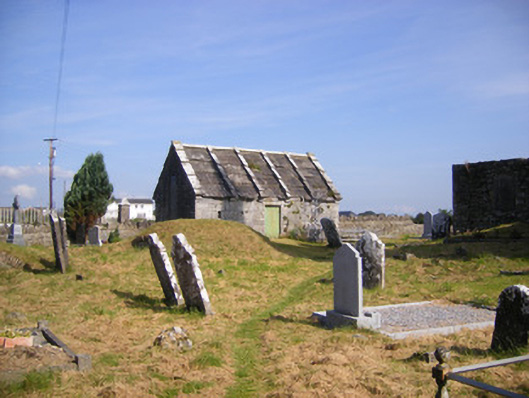 Church of Saint Philip and Saint James (Kilkeedy)mausoleum · 1438 yd
 Grave YardGraveyard · 1461 yd
 Carrigogunnell CastleRuins · 1475 yd
 St James's WellSpring · 1.4 mi
 Sailors HaggardMemorial · 1.8 mi
 Muckinish PointHeadland · 2.7 mi
 Coonagh NatureNature reserve · 2.9 mi
 Grass IslandIslet · 3.1 mi
 Maiden RockNamed rock · 3.4 mi