What is recorded here
No visible gate, no ditch, just a shallow ring of earth and stone on a south-east slope where cattle still move through the dark. The fairies may have taken the entrance, but people built the ring, and a later kiln bit into its side like a claim made on someone else's wall.
On a SSE-facing slope in pasture. A raised circular area (diam. 31.6m) defined by a wide low bank of earth and stone (Wth 6.2m; H 0.2m) from WSW-W-NNW and elsewhere by a scarp. There is no trace of a fosse and the original entrance is not recognisable. Built into the scarp at SW is a small limekiln (LF014-080002-).
Compiled by: Patrick F. O'Donovan
Date of upload: 26 August 2011
This remains an important historical record, but the official description says the monument is no longer visible or has been destroyed. The monument record does not grant public access. Check the route and ask the landowner before entering private land.
- What survives
- No visible remains or recorded as destroyed
Places near here
 KilnKiln, lime · 19 yd
 BarrowBarrow, unclassified · 509 yd
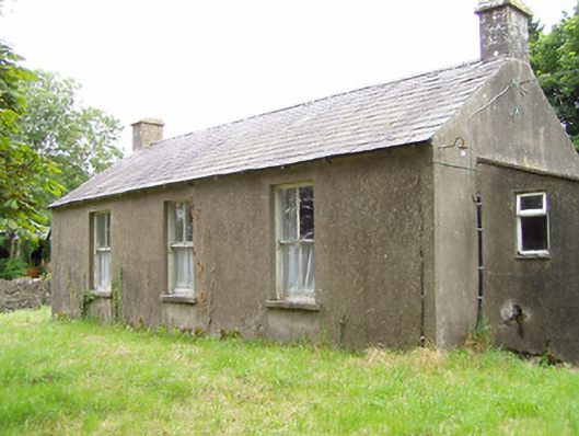 Corboy National Schoolschool · 907 yd
 Enclosure in CloonahardEnclosure · 1415 yd
 CastleCastle, motte · 1755 yd
 Oldtown DemesneForest · 1.2 mi
 Bawn in LissardowlanBawn · 1.2 mi
 Oldtown CopseWood · 1.3 mi
 Saint Mel's CathedralCathedral · 4.6 mi
 First World War MemorialMemorial · 4.7 mi
 Bully's Acregraveyard/cemetery, unknown · 4.7 mi
 National Famine WayWalking route · 4.8 mi