What is recorded here
Fairy fort / earthen ringfort in Corbally (Rahelty parish), Rathmanna (Rahelty parish) is a fairy fort or earthen ringfort in Corbally (Rahelty parish), Rathmanna (Rahelty parish), County Tipperary, Ireland. It occupies a south-east-facing slope in undulating pastureland. The oval enclosure measures 39 metres north-south and 29 metres east-west. A broad earthen bank surrounds it, reaching 3.1 metres in width, 0.87 metres in internal height and 1.5 metres in external height.
Situated on a SE-facing slope in undulating pastureland. An oval area (diam. 39m N-S; 29m E-W) enclosed by a broad, wide earthen bank (Wth 3.1m; int. H 0.87m; ext. H 1.5m) surmounted by mature beech trees with some trees also in the interior. There is a small coniferous plantation in the SE quadrant where the bank has been disturbed. No evidence of an external fosse. In the NE quadrant a modern shed has been built up against the external face of the bank. A portion of the bank at NW (L c. 8m) and another at W (L c. 5m) has been levelled and it is possible that either may have contained the original entrance. The wall of a concrete yard containing a farm building abuts the external face of the bank in the S-SW sector where the external ground level may have been lowered. The interior is cattle poached and was overgrown with nettles at the time of inspection.
The above description is derived from 'The Archaeological Inventory of County Tipperary. Vol. 1 - North Tipperary' compiled by Jean Farrelly and Caimin O'Brien (Dublin: Stationery Office, 2002). In certain instances the entries have been revised and updated in the light of recent research.
Date of upload/revision: 22 September 2008
The monument record does not grant public access. Check the route and ask the landowner before entering private land.
- What survives
- Recorded monument
Places near here
 Enclosure in Rathmanna (rahelty Par.)Enclosure · 618 yd
 Church (n Ruins)Church · 761 yd
 Cliff-edge fort in Knockroe (rahelty Par.)Cliff-edge fort · 843 yd
 Bawn in ArcherstownBawn · 1.2 mi
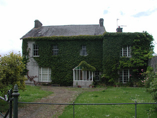 Archerstown Housecountry house · 1.2 mi
 European ashEuropean ash · 1.4 mi
 CastleCastle, ringwork · 1.5 mi
 Byrnes's WoodsForest · 1.8 mi
 St. Mary's Famine and War MuseumMuseum · 1.9 mi
 Pheasant IslandHeritage attraction · 2.2 mi
 Horse and JockeyVisitor information · 4.4 mi
 Killough Hill (site of)Mountain / peak · 5.6 mi