
What is recorded here
Situated on high ground with a nearby ringfort (TN042-029) to the N. Only the lower courses of the walls (H 0.5m) of a small rectangular church (dims. 6m N-S; 11.5m E-W; wall T 0.9m) survive. The church is located in a field of wheat with no visible traces of a graveyard.
The above description is derived from 'The Archaeological Inventory of County Tipperary. Vol. 1 - North Tipperary' compiled by Jean Farrelly and Caimin O'Brien (Dublin: Stationery Office, 2002). In certain instances the entries have been revised and updated in the light of recent research.
Date of upload/revision: 22 September 2008
This remains an important historical record, but the official description says the monument is no longer visible or has been destroyed. The monument record does not grant public access. Check the route and ask the landowner before entering private land.
- What survives
- No visible remains or recorded as destroyed
Places near here
 Enclosure in Rathmanna (rahelty Par.)Enclosure · 147 yd
 Enclosure in Coldfields,rathmanna (twomileborris Par.)Enclosure · 986 yd
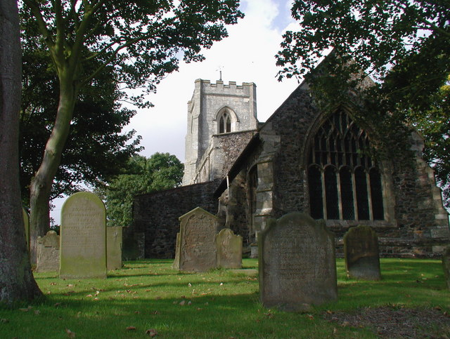 Rahelty Church (in Ruins), Grave YardChurch · 1.5 mi
 Rahelty CastleCastle · 1.5 mi
 Bawn in ArcherstownBawn · 1.7 mi
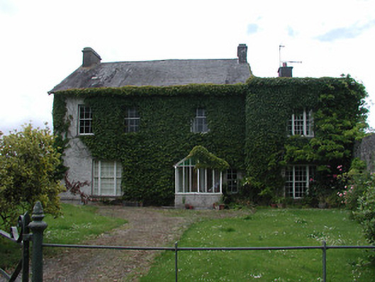 Archerstown Housecountry house · 1.7 mi
 European ashEuropean ash · 1.8 mi
 Byrnes's WoodsForest · 2.1 mi
 Pheasant IslandHeritage attraction · 2.4 mi
 Lár na PáirceMuseum · 2.5 mi
 Horse and JockeyVisitor information · 4.8 mi
 Killough Hill (site of)Mountain / peak · 6.0 mi
Other information
Photo: Credit not shown in the picture search · Rights wording not checked; contact us if this picture should be removed