What is recorded here
Coomlogane held a fort until men levelled it, erasing the very stones that marked its boundaries. The land forgot the structure, but it did not forget the shape beneath. Years later, an underground passage emerged, proving the earth had kept what human arrogance believed destroyed.
On high ground, at W end of Millstreet town under public road. Locally known as site of fort. According to Broker (1937, 47) 'fort levelled without a trace remaining'. Man-made underground passage (8870) discovered on site in 1965.
The above description is derived from the published 'Archaeological Inventory of County Cork. Volume 3: Mid Cork' (Dublin: Stationery Office, 1997). In certain instances the entries have been revised and updated in the light of recent research.
Date of upload/revision: 14 January 2009
The monument record does not grant public access. Check the route and ask the landowner before entering private land.
- What survives
- Recorded monument
Places near here
 St. Patrick's ChurchVisitor information · 15 yd
 Claragh Loop (Trailhead 99)Visitor information · 23 yd
 Millstreet Museum & Tourist Information CentreMuseum · 69 yd
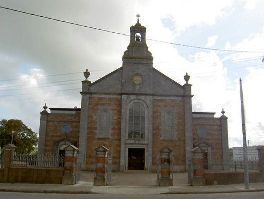 Saint Patrick's Catholic Churchchurch/chapel · 71 yd
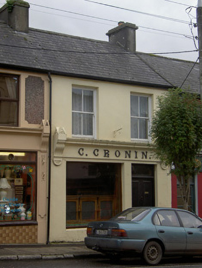 C. Croninhouse · 321 yd
 Burial GroundBurial ground · 794 yd
 TubridHoly well · 1241 yd
 RowanRowan · 1513 yd
 Claragh MountainMountain / peak · 1.4 mi
 Castle and TurretCastle, tower house · 1.4 mi
 Kilmeedy CastleCastle, tower house · 1.6 mi
 CurracahillMountain / peak · 3.1 mi