What is recorded here
Cooltomin held a circular fort twenty-five metres across, large enough to exclude every unwanted creature and small enough to know every resident by heart. Cattle and ploughs have since flattened much of the boundary, leaving only a faint oval scar and a low internal rise beneath the pasture. The earth forgot the shape of the house but never quite erased the fact that people had drawn a line around their own lives.
In pasture, on gently undulating terrain. Monument, depicted on 1923 OS 6-inch map as circular enclosure (diam. c. 25m), has been levelled. Now evident as oval area (20.1m N-S; 26.2m E-W) defined by scarped edge which is best preserver SE->S (H 0.35; Wth 4m) but elsewhere is very indistinct. Interior, under pasture, has gentle roughly circular rise (H 0.1m; 8.5m N-S; 9m E-W) to W of centre.
Compiled by: Denis Power
Date of upload: 26 August 2011
The monument record does not grant public access. Check the route and ask the landowner before entering private land.
- What survives
- Recorded monument
Places near here
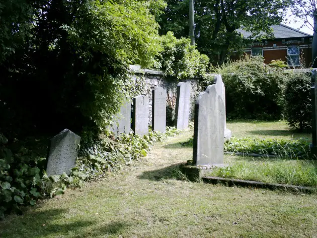 Burial in BallyanBurial · 885 yd
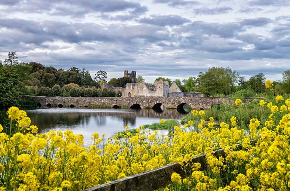 LisardArchaeological place · 1124 yd
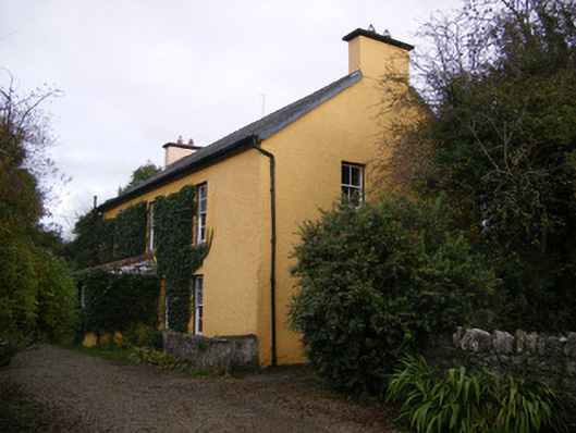 creamerycreamery · 1.0 mi
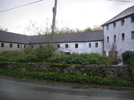 Altavilla Millmill (water) · 1.1 mi
 Bawn in Lisnacullia (connello Lower By.)Bawn · 1.5 mi
 Lismakeery Castle (in ruins)Castle, tower house · 1.8 mi
 TobernablahySpring · 2.5 mi
 St. Kieran's WellSpring · 2.6 mi
 Askeaton CastleHeritage attraction · 3.7 mi
 Holly IslandIslet · 4.6 mi
 European ashEuropean ash · 4.9 mi
 Foynes Flying Boat & Maritime MuseumMuseum · 6.0 mi