What is recorded here
No. of entry: 03806002 Last edited: 26/08/2011 18:02
In pasture, on low-lying gently undulating terrain. Monument, depicted on 1923 OS 6-inch map as circular embanked enclosure (diam. c. 30m) bisected by field boundary on N-S axis, has been levelled. Material from removed banks appears to have been deposited along bisecting field boundary which is noticeably higher (H 2.75m; Wth 4m) than elsewhere for c. 40m.
Compiled by: Denis Power
Date of upload: 26 August 2011
The monument record does not grant public access. Check the route and ask the landowner before entering private land.
- What survives
- Recorded monument
Places near here
 Fulacht fia in CooltominFulacht fia · 377 yd
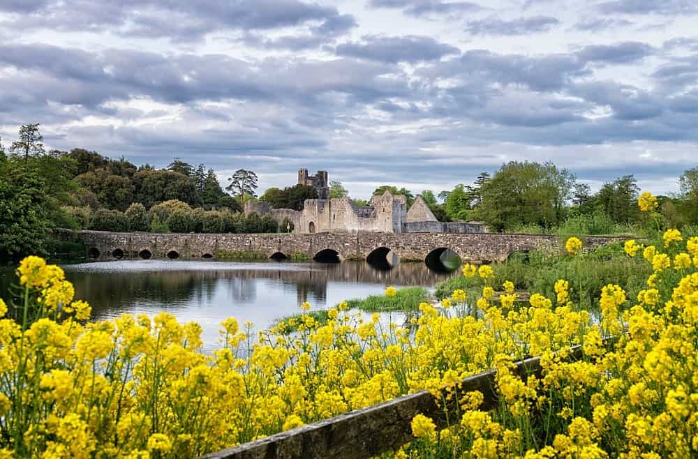 LisardArchaeological place · 785 yd
 post boxpost box · 1.2 mi
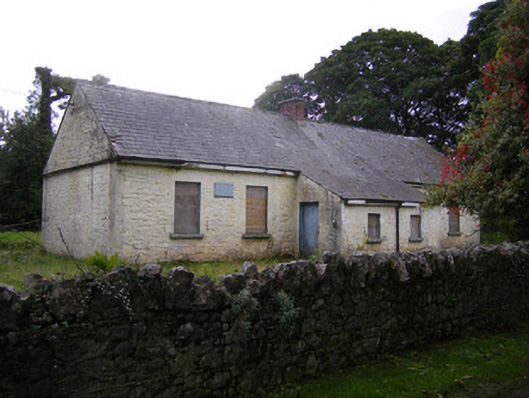 Nutgrove National Schoolschool · 1.2 mi
 Bawn in Lisnacullia (connello Lower By.)Bawn · 1.5 mi
 CastleCastle, unclassified · 1.8 mi
 St. Kieran's WellSpring · 2.3 mi
 St. Luke's WellSpring · 2.6 mi
 Askeaton CastleHeritage attraction · 4.3 mi
 European ashEuropean ash · 4.9 mi
 Holly IslandIslet · 5.0 mi
 Foynes Flying Boat & Maritime MuseumMuseum · 5.8 mi