What is recorded here
No visible entrance. The field has no gate, no broken wall, no missing piece. A road cut through the middle later. The circular edge still stands, scarped and unbroken, while the house and shed around it disappeared. The fort did not lose a part. It stopped being a fort for people and became a shape the land still holds.
In rough pasture, atop low limestone rise. Circular area (34m N-S; 33m E-W) defined by scarped edge (H 0.7m; Wth 5.2m), best preserved N->S. Original avenue to farmhouse, located c. 40m to N and now derelict, formerly skirted around E side of enclosure; realigned avenue (Wth 2.2m) now cuts through middle (rough N-S axis) of enclosure. Traces of stone footing along top of scarped edge SSW->N indicate line of removed bank/wall. Interior slopes down gently to SE and is under rough grazing. Immediately NE of enclosure is farm shed; immediately W of enclosure is bank of debris, aligned N-S, from demolished farm buildings.
Compiled by: Denis Power
Date of upload: 26 August 2011
The monument record does not grant public access. Check the route and ask the landowner before entering private land.
- What survives
- Recorded monument
Places near here
 Fulacht fia in CooltominFulacht fia · 816 yd
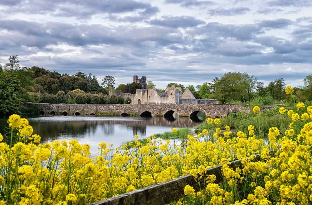 LisardArchaeological place · 1185 yd
 post boxpost box · 1570 yd
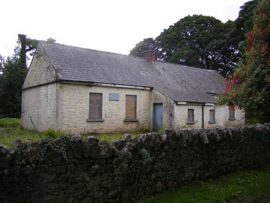 Nutgrove National Schoolschool · 1689 yd
 CastleCastle, unclassified · 1.6 mi
 Site of CastleCastle, unclassified · 1.8 mi
 St. Kieran's WellSpring · 2.6 mi
 St. Luke's WellSpring · 2.8 mi
 Askeaton CastleHeritage attraction · 4.1 mi
 Holly IslandIslet · 4.8 mi
 European ashEuropean ash · 5.2 mi
 Foynes Flying Boat & Maritime MuseumMuseum · 5.5 mi