What is recorded here
Cooltomin holds a broken ring of earth and stone above the craggs, marking a place where people once drew a line around their own lives. Cattle have since rubbed that line thin, yet the circle still emerges through grass and limestone. The fort has lost much of its edge, but it has not lost its shape.
In pasture, atop low rise, in area of outcropping limestone known locally as "the craggs". Roughly circular area (31m N-S; 29.2m E-W) enclosed by earth-and-stone bank (int. H 0.3m; ext. H 0.7m) ESE->NW. Bank, which is heavily eroded by cattle, is best preserved SSW->WNW. Interior surface is uneven limestone outcrops and numerous small dumps of earth and stones. Field boundary, which skirted enclosure NW->SE, has been removed; enclosing element was also probably removed with the boundary in this area.
Compiled by: Denis Power
Date of upload: 26 August 2011
A fairy fort / earthen ringfort in Cooltomin is a roughly circular early-medieval defensive or domestic site, likely dating to between the 5th and 10th centuries AD. Local tradition associates such sites with fairy folk, and the fort's location on a prominent limestone outcrop may have added to its spiritual or supernatural significance in folklore.
This remains an important historical record, but the official description says the monument is no longer visible or has been destroyed. The monument record does not grant public access. Check the route and ask the landowner before entering private land.
- What survives
- No visible remains or recorded as destroyed
Places near here
 Fulacht fia in CooltominFulacht fia · 564 yd
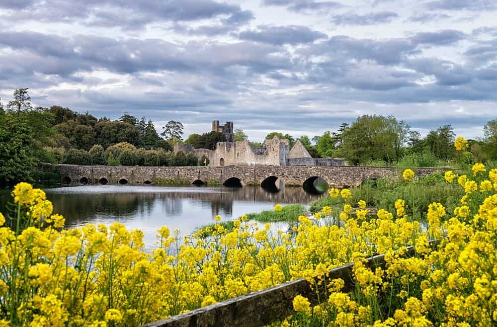 LisardArchaeological place · 860 yd
 post boxpost box · 1.0 mi
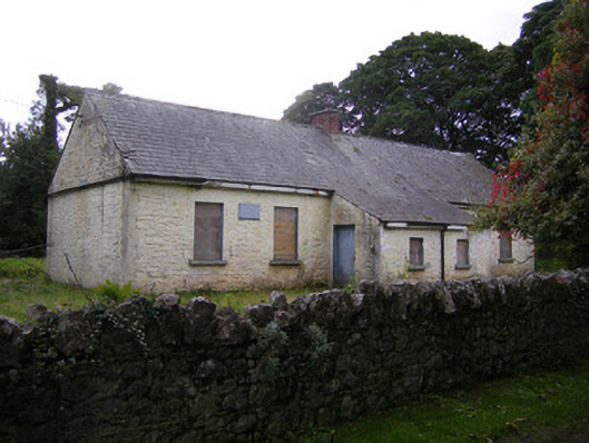 Nutgrove National Schoolschool · 1.1 mi
 Bawn in Lisnacullia (connello Lower By.)Bawn · 1.6 mi
 CastleCastle, unclassified · 1.8 mi
 St. Kieran's WellSpring · 2.5 mi
 TobernablahySpring · 2.7 mi
 Askeaton CastleHeritage attraction · 4.1 mi
 Holly IslandIslet · 4.8 mi
 European ashEuropean ash · 5.0 mi
 Foynes Flying Boat & Maritime MuseumMuseum · 5.7 mi