What is recorded here
Situated on a slight SW-facing slope with a small NW-SE stream c. 140m to the SW. The OSI orthophoto (2000) shows the vegetation mark of a circular enclosure (diam. c. 30m) defined by a wide fosse feature (Wth c. 5m) which has a large central deposit or pit visible in the interior.
Compiled by: Gillian Barrett/Michael Moore
Date of upload; 19 February, 2013
The monument record does not grant public access. Check the route and ask the landowner before entering private land.
- What survives
- Recorded monument
Places near here
 EnclosureFairy fort / earthen ringfort · 407 yd
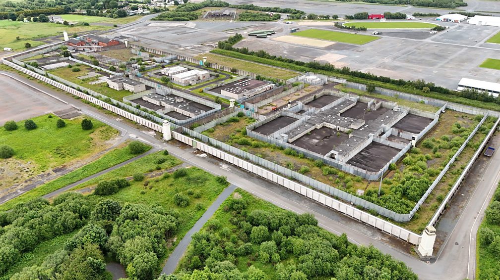 Concentric enclosure in BallygowneyConcentric enclosure · 611 yd
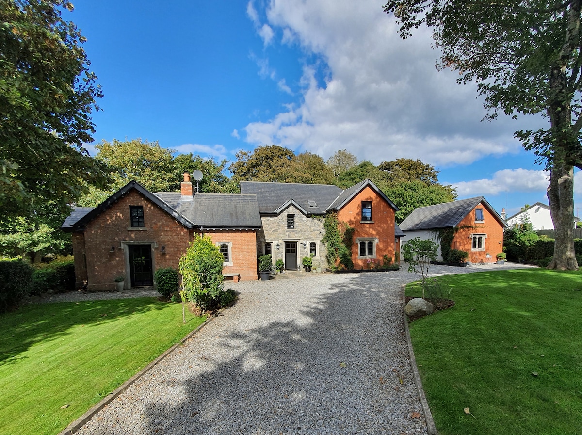
 Baylestown Housefarm house · 961 yd
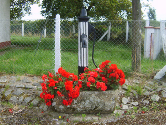 water pumpwater pump · 1504 yd
 Lockheed Hudson AM885 MemorialMemorial · 1.1 mi
 Rathumney Castle (in ruins)Castle, hall-house · 1.9 mi
 Bawn in Boley (shelburne By.)Bawn · 2.1 mi
 Saltmills Explosion MemorialMemorial · 3.2 mi
 Common WhitebeamCommon Whitebeam · 3.9 mi
 Dunbrody Abbey Visitor CentreHeritage attraction · 4.3 mi
 Dunbrody Abbey Hedge MazeHeritage attraction · 4.3 mi
 Arthurstown BeachBeach / strand · 4.6 mi